Torworth
| Torworth | |
|---|---|
| Village and civil parish | |
 Low Street, Torworth | |
Parish map | |
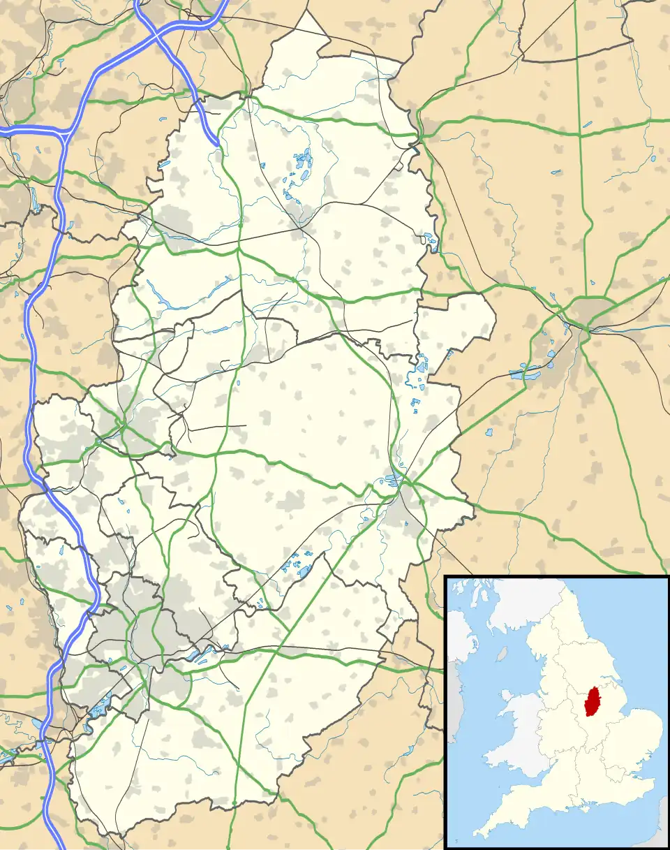 Torworth Location within Nottinghamshire | |
| Area | 2.21 sq mi (5.7 km2) |
| Population | 244 (2021) |
| • Density | 110/sq mi (42/km2) |
| OS grid reference | SK 656869 |
| • London | 135 mi (217 km) SSE |
| District | |
| Shire county | |
| Region | |
| Country | England |
| Sovereign state | United Kingdom |
| Post town | RETFORD |
| Postcode district | DN22 |
| Dialling code | 01777 |
| Police | Nottinghamshire |
| Fire | Nottinghamshire |
| Ambulance | East Midlands |
| UK Parliament | |
| Website | www |
Torworth (/ˈtɔːrɜːrθ/) is a small village on the A638 or 'Great North Road' in North Nottinghamshire. According to the 2001 census it had a population of 264,[1] falling marginally to 263 at the 2011 census, and further to 244 at the 2021 census.[2]
See also
References
- ^ "Area: TorworthCP (Parish)"
- ^ UK Census (2021). "2021 Census Area Profile – Torworth parish (E04007843)". Nomis. Office for National Statistics. Retrieved 23 January 2024.
Sources
External links
Wikimedia Commons has media related to Torworth.