Totovo Selo
Totovo Selo
| |
|---|---|
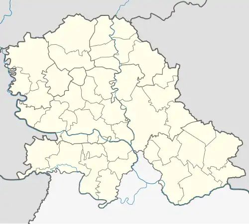 Totovo Selo Location of Vojvoda Zimonić within Serbia 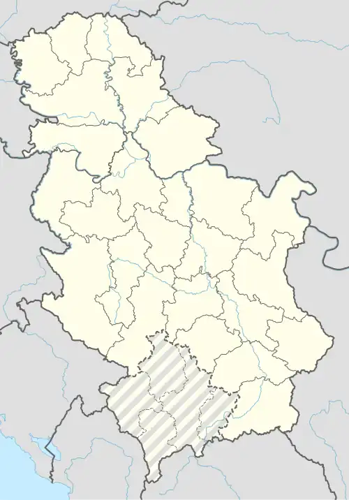 Totovo Selo Totovo Selo (Serbia) 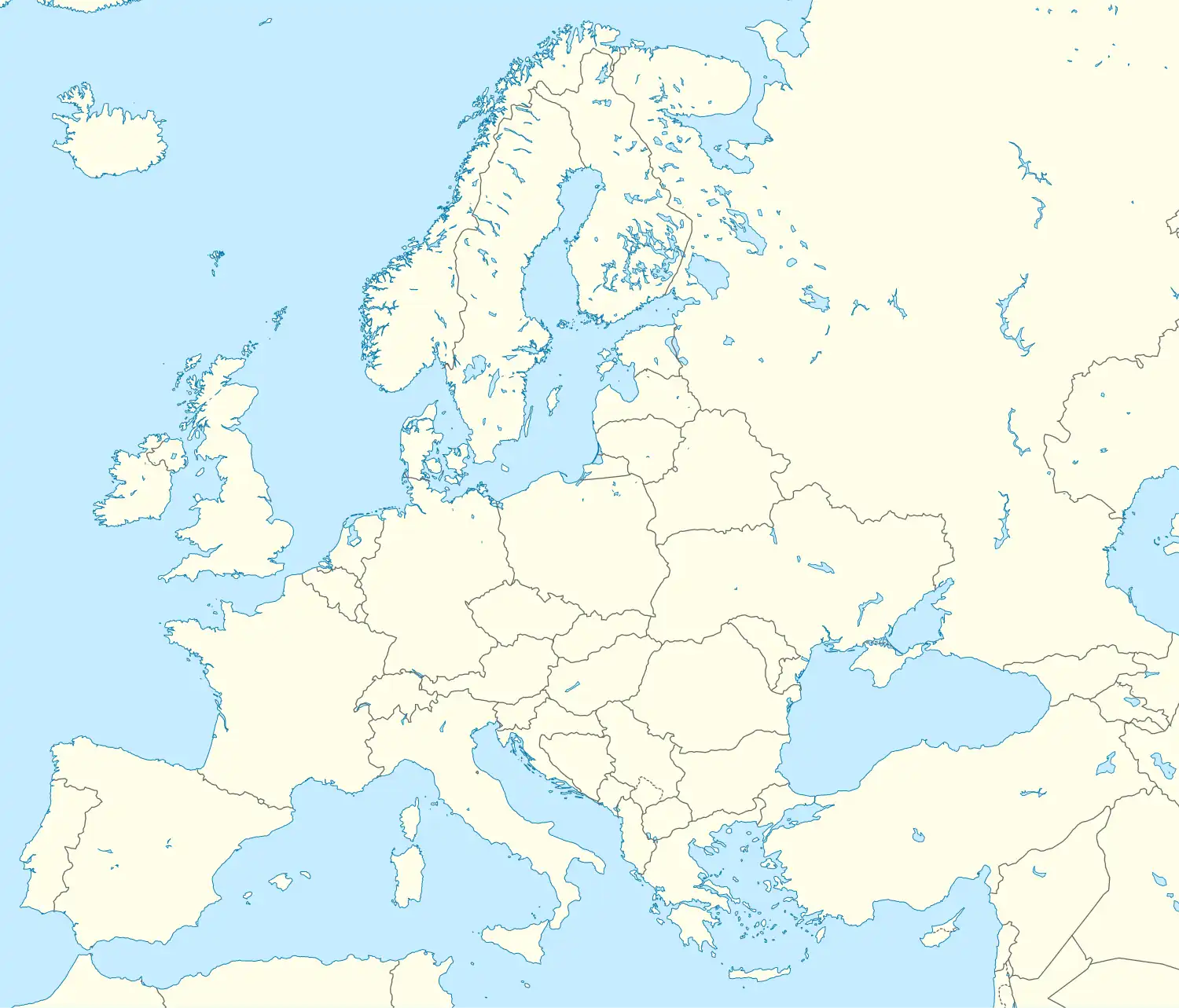 Totovo Selo Totovo Selo (Europe) | |
| Coordinates: 45°57′26″N 19°54′00″E / 45.95722°N 19.90000°E | |
| Country | |
| Province | |
| District | North Backa |
| Municipalities | |
| Elevation | 106 m (348 ft) |
| Population (2002) | |
• Totovo Selo | 709 |
| Time zone | UTC+1 (CET) |
| • Summer (DST) | UTC+2 (CEST) |
| Postal code | 24427 |
| Area code | +381(0)24 |
| Car plates | KA |
Totovo Selo (in Serbian Cyrillic: Тотово Село, in Hungarian: Tóthfalu) is a village in Serbia. It is situated in the Kanjiža municipality, in the North Bačka District, Vojvodina province. The village has a Hungarian ethnic majority (99.43%) and its population numbering 709 people (2002 census).
See also
External links
- History of Totovo Selo (in Hungarian)