Trident, Arkansas
Trident, Arkansas | |
|---|---|
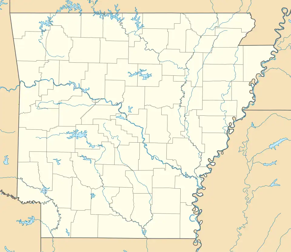 Trident, Arkansas Trident's position in Arkansas.  Trident, Arkansas Trident, Arkansas (the United States) | |
| Coordinates: 36°6′3″N 94°28′50″W / 36.10083°N 94.48056°W | |
| Country | |
| State | |
| County | Benton |
| Township | 13 |
| Elevation | 329 m (1,079 ft) |
| Time zone | UTC-6 (Central (CST)) |
| • Summer (DST) | UTC-5 (CDT) |
| ZIP code | 72761 |
| Area code | 479 |
| GNIS feature ID | 74389 |
| U.S. Geological Survey Geographic Names Information System: Trident, Arkansas | |
Trident is an unincorporated community in Township 13, Benton County, Arkansas, United States.[1] It is located on Long Farm Road just off Arkansas Highway 244.[2]
References
- ^ U.S. Geological Survey Geographic Names Information System: Trident, Arkansas United States Geological Survey. Retrieved 20 August 2011.
- ^ Arkansas Atlas and Gazetteer (Map) (Second ed.). DeLorme. § 22.
Municipalities and communities of Benton County, Arkansas, United States | ||
|---|---|---|
| Cities |  | |
| Towns | ||
| Townships | ||
| CDPs | ||
| Other communities | ||
| Ghost towns | ||
| Footnotes | ‡This populated place also has portions in an adjacent county or counties Bethel Heights, a former municipality, is now a part of Springdale | |