Tropical Park, Florida
Tropical Park, Florida | |
|---|---|
 Tropical Park  Tropical Park | |
| Coordinates: 28°22′46″N 80°42′30″W / 28.37944°N 80.70833°W | |
| Country | |
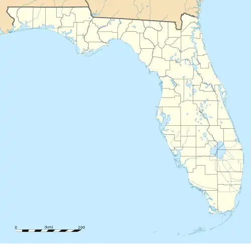
| State | Florida |
| County | Brevard |
| Area | |
• Total | 0.55 sq mi (1.42 km2) |
| • Land | 0.55 sq mi (1.42 km2) |
| • Water | 0.00 sq mi (0.00 km2) |
| Elevation | 10 ft (3 m) |
| Population (2020) | |
• Total | 2,013 |
| • Density | 3,680.07/sq mi (1,420.52/km2) |
| Time zone | UTC-5 (Eastern (EST)) |
| • Summer (DST) | UTC-4 (EDT) |
| ZIP Code | 32953 (Merritt Island) |
| Area code | 321 |
| FIPS code | 12-72521 |
| GNIS feature ID | 2805194[2] |
Tropical Park is a census-designated place (CDP) in Brevard County, Florida, United States. It occupies a portion of Merritt Island, a barrier island, and is surrounded by the CDP of Merritt Island. Florida State Road 3 is the main highway in the area, forming the eastern edge of Tropical Park.
Tropical Park was first listed as a CDP prior to the 2020 census. The population was 2,013 at the 2020 census. It is part of the Palm Bay—Melbourne—Titusville, Florida Metropolitan Statistical Area.
Demographics
| Census | Pop. | Note | %± |
|---|---|---|---|
| 2020 | 2,013 | — | |
| U.S. Decennial Census[3] | |||
References
- ^ "2020 U.S. Gazetteer Files". United States Census Bureau. Retrieved December 2, 2021.
- ^ a b "Tropical Park Census Designated Place". Geographic Names Information System. United States Geological Survey, United States Department of the Interior.
- ^ "Census of Population and Housing". Census.gov. Retrieved June 4, 2016.
Municipalities and communities of Brevard County, Florida, United States | ||
|---|---|---|
| Cities | 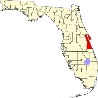 | |
| Towns | ||
| CDPs | ||
| Unincorporated communities | ||
| Ghost towns | ||