Tsemperou
| Tsemperou | |
|---|---|
| Τσεμπερού | |
| Highest point | |
| Elevation | 1,254 m (4,114 ft)[1] |
| Coordinates | 37°20′53″N 22°14′53″E / 37.348°N 22.248°E |
| Geography | |
| Location | southern Arcadia, Greece |
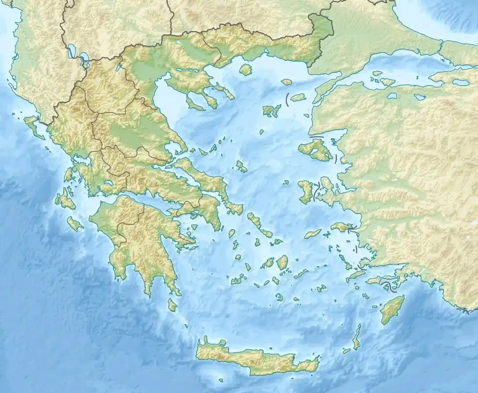
The Tsemperou (Greek: Τσεμπερού) is a mountain located in southern Arcadia, central Peloponnese, Greece. The elevation of its summit is 1,254 m.[1] It is situated southeast of the plain of Megalopoli, 12 km from the town centre. Villages on the Tsemperou include Anavryto and Paparis. The river Alfeios flows north of the mountain.
References
- ^ a b Oreivatein.com