Tukulma, Nigeria
Tukulma | |
|---|---|
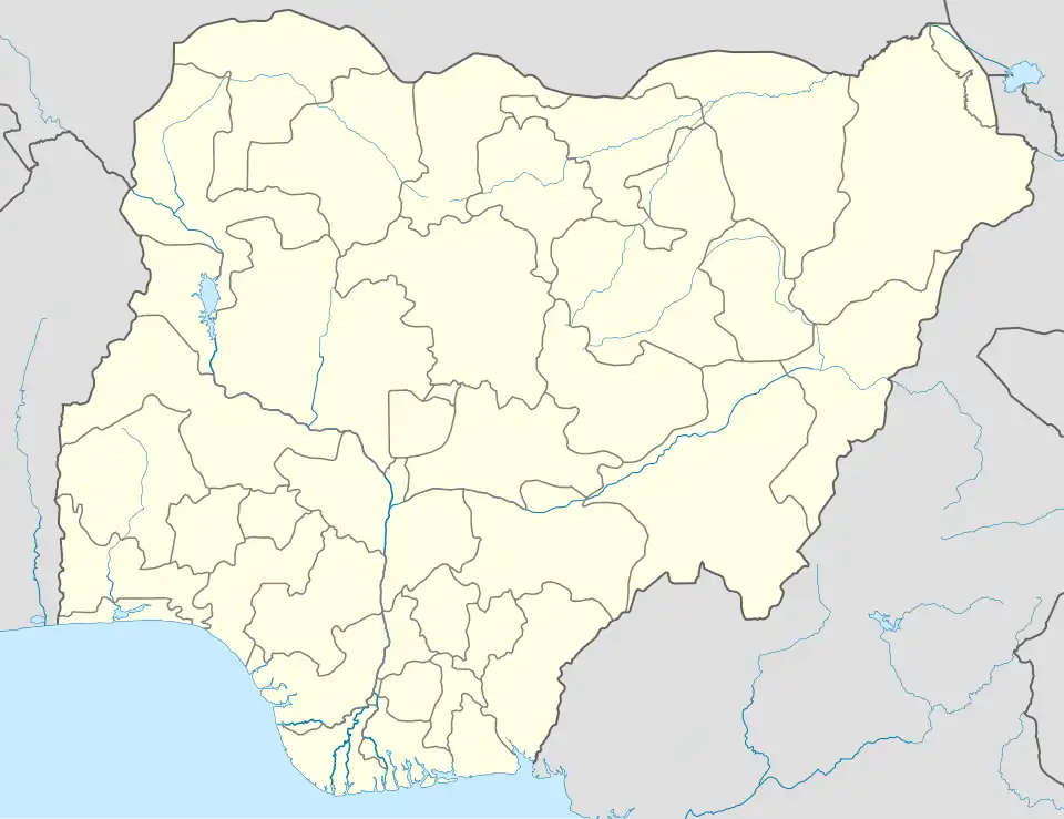 Tukulma Location in Nigeria | |
| Coordinates: 10°07′56″N 10°58′40″E / 10.13222°N 10.97778°E | |
| Country | |
| State | Gombe State |
| Headquarters | Akko |
| Government | |
| • Type | Democratic |
| Area | |
• Total | 1,122 km2 (433 sq mi) |
| Population (2006 census) | |
| • Ethnicities | Fulani Tangale |
| • Religions | mostly populated are Muslims and some few Christians |
| Time zone | UTC1 (WAT) |

Tukulma is a town located in Gombe State, Nigeria's Akko Local Government Area.[1] About 27 kilometers, or 17 miles, from Tukulma. The distance of about 400 kilometers (249 mi) separates Tukulma from Abuja, the capital of Nigeria.[2]
The postcode of the area is 771104.[3]
School in Tukulma
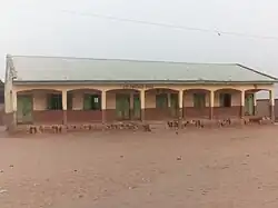
Bappayo Tukulma Government Science Secondary School Gombe
Climate

In Tukulma, the year-round heat is accompanied by an uncomfortable and overcast wet season and a partially cloudy dry season. There is very little fluctuation in temperature below or above 31°F throughout the year, with an average of 23°F to 107°F.[4][5]
References
- ^ "TUKULMA Geography Population Map cities coordinates location - Tageo.com". www.tageo.com. Retrieved 2024-08-27.
- ^ "Tukulma, Nigeria - Facts and information on Tukulma - Nigeria.Places-in-the-world.com". nigeria.places-in-the-world.com. Retrieved 2024-08-27.
- ^ "Tukulma, Akko - Postcode - 771104 - Nigeria Postcode". www.nigeriapostcode.com. Retrieved 2024-08-27.
- ^ "Weather Tukulma - Long term weather forecast | freemeteo.gr". freemeteo.gr. Retrieved 2024-08-27.
- ^ "Weather Forecast Tukulma - Nigeria (Gombe) : free 15 day weather forecasts". Weather Crave. 2024-08-27. Retrieved 2024-08-27.