Union Gap, Oregon
Union Gap, Oregon | |
|---|---|
 Union Gap, Oregon  Union Gap, Oregon | |
| Coordinates: 43°24′11″N 123°18′50″W / 43.40306°N 123.31389°W | |
| Country | United States |
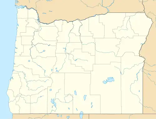
| State | Oregon |
| County | Douglas |
| Elevation | 577 ft (176 m) |
| Time zone | UTC-8 (Pacific (PST)) |
| • Summer (DST) | UTC-7 (PDT) |
| ZIP code | 97462 |
| Area codes | 458 and 541 |
| GNIS feature ID | 2611782[1] |
Union Gap is an unincorporated community and Census-designated place located in Douglas County, Oregon.[1]
References
Municipalities and communities of Douglas County, Oregon, United States | ||
|---|---|---|
| Cities |  | |
| CDPs | ||
| Unincorporated communities | ||
| Indian reservations | ||
| Footnotes | ‡This populated place also has portions in an adjacent county or counties | |