Union Township, Butler County, Kansas
Union Township Butler County, Kansas | |
|---|---|
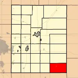 Location within Butler County | |
 Union Township Location within Kansas | |
| Coordinates: 37°31′33″N 96°35′0″W / 37.52583°N 96.58333°W[1] | |
| Country | United States |
| State | Kansas |
| County | Butler |
| Area | |
• Total | 62.54 sq mi (161.98 km2) |
| • Land | 62.09 sq mi (160.81 km2) |
| • Water | 0.45 sq mi (1.17 km2) 0.72% |
| Elevation | 1,529 ft (466 m) |
| Population (2000) | |
• Total | 226 |
| • Density | 3.6/sq mi (1.4/km2) |
| Time zone | UTC-6 (CST) |
| • Summer (DST) | UTC-5 (CDT) |
| FIPS code | 20-72050 [1] |
| GNIS ID | 469948 [1] |
| Website | County website |
Union Township is a township in Butler County, Kansas, United States.[1] As of the 2000 census, its population was 226.
History
Union Township was organized in 1879.[2]
Geography
Union Township covers an area of 62.54 square miles (162.0 km2) and contains one incorporated settlement, Latham. According to the USGS, it contains one cemetery, Latham.
References
- ^ a b c d e "Union Township, Butler County, Kansas", Geographic Names Information System, United States Geological Survey, United States Department of the Interior
- ^ Mooney, Vol. P. (1916). History of Butler County Kansas. Standard Publishing Company. p. 37.
Further reading
External links
Municipalities and communities of Butler County, Kansas, United States | ||
|---|---|---|
| Cities |  | |
| CDPs | ||
| Unincorporated communities | ||
| Ghost towns | ||
| Townships | ||