Unterpremstätten
Unterpremstätten | |
|---|---|
 Premstätten Castle and chapel | |
 Coat of arms | |
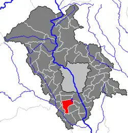 Location within Graz-Umgebung district | |
 Unterpremstätten Location within Austria | |
| Coordinates: 46°57′53″N 15°24′15″E / 46.96472°N 15.40417°E | |
| Country | Austria |
| State | Styria |
| District | Graz-Umgebung |
| Area | |
• Total | 17.77 km2 (6.86 sq mi) |
| Elevation | 351 m (1,152 ft) |
| Population (1 January 2016)[1] | |
• Total | 3,964 |
| • Density | 220/km2 (580/sq mi) |
| Time zone | UTC+1 (CET) |
| • Summer (DST) | UTC+2 (CEST) |
| Postal code | 8141 |
| Area code | 0 31 36 |
| Vehicle registration | GU |
| Website | www.unterpremstaetten.at |
Unterpremstätten is a former municipality in the district of Graz-Umgebung in the Austrian state of Styria. Since the 2015 Styria municipal structural reform, it is part of the municipality Premstätten.[2]
AMS-Osram, formerly known as austriamicrosystems AG, is headquartered within Unterpremstätten.
Population
| Year | Pop. | ±% |
|---|---|---|
| 1869 | 949 | — |
| 1890 | 1,048 | +10.4% |
| 1900 | 1,098 | +4.8% |
| 1910 | 1,321 | +20.3% |
| 1923 | 1,246 | −5.7% |
| 1934 | 1,581 | +26.9% |
| 1939 | 1,661 | +5.1% |
| 1951 | 1,812 | +9.1% |
| 1961 | 1,966 | +8.5% |
| 1971 | 2,058 | +4.7% |
| 1981 | 2,129 | +3.4% |
| 1991 | 2,574 | +20.9% |
| 2001 | 3,188 | +23.9% |
| 2011 | 3,605 | +13.1% |
References