Unthank, Derbyshire
| Unthank | |
|---|---|
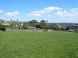 Farmhouses on Unthank Lane | |
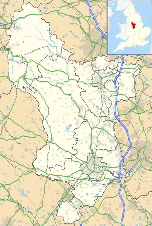 Unthank Location within Derbyshire | |
| OS grid reference | SK307760 |
| District | |
| Shire county | |
| Region | |
| Country | England |
| Sovereign state | United Kingdom |
| Post town | DRONFIELD |
| Postcode district | S18 |
| Police | Derbyshire |
| Fire | Derbyshire |
| Ambulance | East Midlands |
| UK Parliament | |
Unthank is a hamlet in the North East Derbyshire district of Derbyshire, England.[1] It is sited on a narrow lane on the southern slopes of the Cordwell Valley, at an altitude of about 185 metres (610 ft).
On 6 May 1970, a USAF McDonnell-Douglas RF-4C crashed in the nearby Stripes Wood while doing a NATO training exercise. Both crew men ejected and landed at Curbar Edge.[2]
References
- ^ "Unthank, North East Derbyshire - area information, map, walks and more". OS GetOutside. Retrieved 1 May 2018.
- ^ "1970 Air Crash - Unthank, North Derbyshire". nicwhe8.freehostia.com. Retrieved 1 May 2018.
External links
![]() Media related to Unthank, Derbyshire at Wikimedia Commons
Media related to Unthank, Derbyshire at Wikimedia Commons