Urapakkam
Urapakkam | |
|---|---|
suburb | |
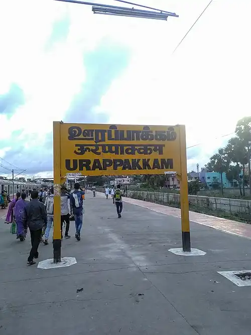 Urappakkam railway station | |
 Urapakkam  Urapakkam  Urapakkam | |
| Coordinates: 12°52′03″N 80°04′12″E / 12.8674°N 80.0699°E | |
| Country | India |
| State | Tamil Nadu |
| District | Chengalpattu |
| Taluk | Chengalpattu |
| Metro | Chennai Metropolitan Area |
| Population (2011) | |
• Total | 29,122 |
| Official | |
| • Language | Tamil |
| Time zone | UTC+5:30 (IST) |
| Pincode | 603210[1] |
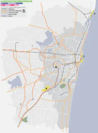
Urapakkam is a southern suburb of Chennai[2] and a panchayat in Chengalpattu district. As per the 2011 census, Urapakkam had a population of 29,122 individuals.[3] It forms part of the Chengalpattu Assembly constituency and Kancheepuram Lok Sabha constituency.[2]
Urapakkam is located on the National Highway 32.[4] It is served by the Urapakkam railway station, which forms part of the South Line of the Chennai Suburban Railway Network.[5][6]
Kilambakkam bus terminus is located within 2 kms from Urapakkam.
References
- ^ "Urapakkam pincode". ABP. Retrieved 1 June 2024.
- ^ a b "Urapakkam". eTamilnadu. Retrieved 1 February 2024.
- ^ "Directorate of Census Operations - Tamil Nadu". Archived from the original on 17 February 2011. Retrieved 29 December 2012.
- ^ "Stretch of GST Road to be widened". The Hindu. 24 January 2020. Retrieved 1 June 2024.
- ^ "Southern Railway list of stations" (PDF). Centre For Railway Information Systems. 1 April 2023. p. 1. Archived from the original (PDF) on 23 March 2024. Retrieved 23 March 2024.
- ^ "Map of Chennai suburban". IRFCA. Retrieved 1 June 2024.
Places adjacent to Urapakkam | ||||||||||||||||
|---|---|---|---|---|---|---|---|---|---|---|---|---|---|---|---|---|
| ||||||||||||||||