Urduliz
Urduliz | |
|---|---|
 View of Urduliz | |
 Flag  Coat of arms | |
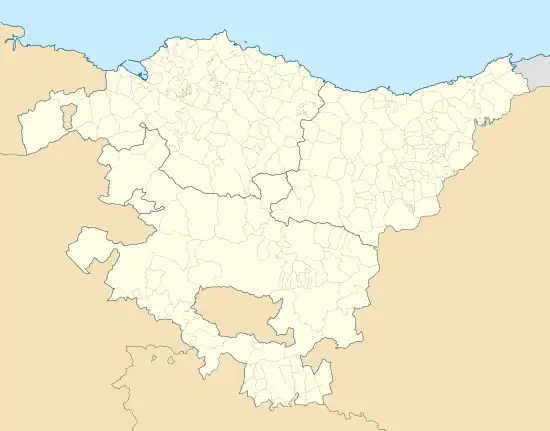 Urduliz Location of Urduliz within the Basque Country | |
| Coordinates: 43°22′22″N 2°56′57″W / 43.37278°N 2.94917°W | |
| Country | Spain |
| Autonomous community | Basque Country |
| Province | Biscay |
| Comarca | Mungialdea |
| Government | |
| • Mayor | Javier Bilbao (EAJ-PNV) |
| Area | |
• Total | 7.8 km2 (3.0 sq mi) |
| Elevation | 75 m (246 ft) |
| Population (2018)[1] | |
• Total | 4,319 |
| • Density | 550/km2 (1,400/sq mi) |
| Demonym | Basque: urduliztarra |
| Time zone | UTC+1 (CET) |
| • Summer (DST) | UTC+2 (CEST) |
| Postal code | 48610 |
| Official language(s) | Basque Spanish |
| Website | Official website |
Urduliz (Spanish: Urdúliz) is a municipality located in northern Biscay, Spain. While connected to Greater Bilbao both by the Bilbao metro and BizkaiBus, the municipality is part of Mungialdea. The municipality shows a mixture of industrial and rural qualities, being divided in three separate villages or neighborhoods. According to the 2024 census, it has 5,626 inhabitants.[2]
Geography
Located in the region of Uribe Kosta, Urduliz sits in the Butron river valley, which has a northwest-southeast orientation. The southeast edge of the valley is bounded by a ridge (Las Peñas de Santa Marina). This ridge contains ruins of a portion of Bilbao's iron ring,[3] cliffs with rock climbing routes,[4] and the hermitage of Saint Marina.[5]
References
- ^ Municipal Register of Spain 2018. National Statistics Institute.
- ^ "Urduliz". Eustat. Instituto Vasco de Estadística. Retrieved 3 May 2025.
- ^ "Las Peñas de Santa Marina". Ayuntamiento de Urduliz. Retrieved 3 May 2025.
- ^ "URDULIZ". Bizkaia.
- ^ "Ermita de Santa Marina". Ayuntamiento de Urduliz. Retrieved 3 May 2025.