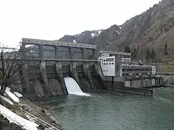
Uwada Dam
| Uwada Dam | |
|---|---|
 | |
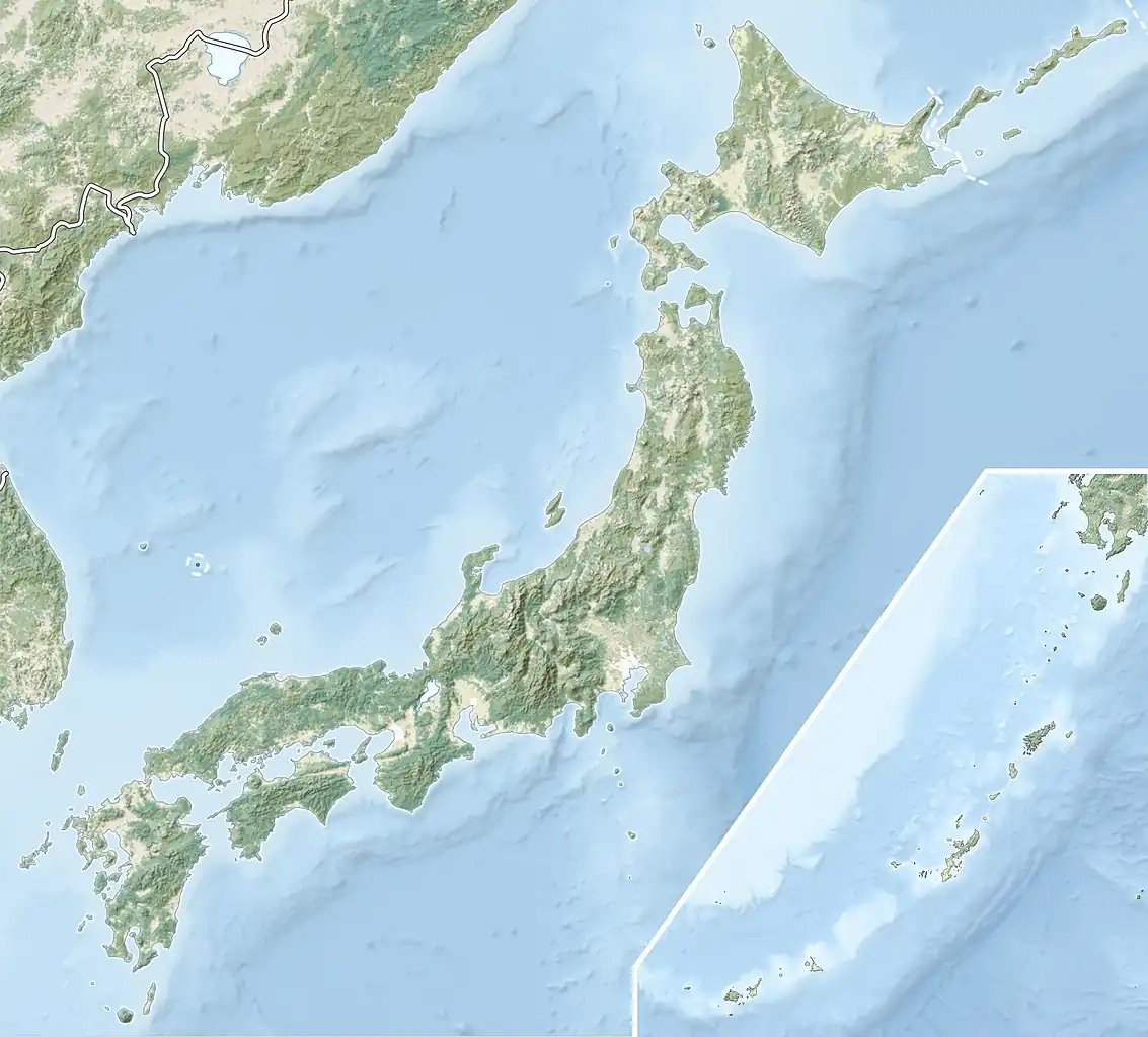 Location of Uwada Dam in Japan | |
| Country | Japan |
| Location | Kaneyama |
| Coordinates | 37°28′59″N 139°32′14″E / 37.48306°N 139.53722°E |
| Construction began | 1952 |
| Opening date | 1954 |
| Owner(s) | Tohoku Electric Power |
| Dam and spillways | |
| Impounds | Tadami River |
| Height | 34 m (112 ft) |
| Length | 283 m (928 ft) |
| Dam volume | 23,000 m3 (30,083 cu yd) |
| Spillway type | 5 x roller gates |
| Reservoir | |
| Total capacity | 20,500,000 m3 (16,620 acre⋅ft) |
| Active capacity | 4,426,000 m3 (3,588 acre⋅ft) |
| Catchment area | 2,402 km2 (927 sq mi) |
| Surface area | 1.52 km2 (376 acres) |
| Power Station | |
| Commission date | March 1954 |
| Hydraulic head | 26.3 m (86 ft) |
| Turbines | 3 x 21.3 MW Kaplan-type |
| Installed capacity | 63.9 MW |
Uwada Dam is a gravity dam on the Tadami River 500 m (1,640 ft) downstream of Kaneyama in the Fukushima Prefecture of Japan. It was constructed between 1952 and 1954 for the purpose of hydroelectric power generation. It supplies a 63.9 MW power station with water.[1]
See also
- Miyashita Dam – located downstream
- Honna Dam – located upstream
References
- ^ "Tohoku Electric Power Plant Uwada" (in Japanese). Suiryoku. Retrieved 27 August 2011.
Wikimedia Commons has media related to Dams in Fukushima prefecture.