Valgreghentino
Valgreghentino | |
|---|---|
| Comune di Valgreghentino | |
Location of Valgreghentino | |
 Valgreghentino Location of Valgreghentino in Italy 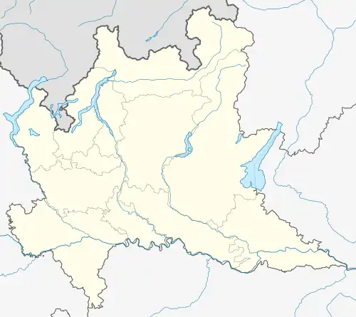 Valgreghentino Valgreghentino (Lombardy) | |
| Coordinates: 45°47′N 9°25′E / 45.783°N 9.417°E | |
| Country | Italy |
| Region | Lombardy |
| Province | Lecco (LC) |
| Frazioni | Biglio, Dozio, Parzanella, Villa San Carlo, Buttello, Cà Nova, Miglianico, Taiello. |
| Government | |
| • Mayor | Sergio Brambilla |
| Area | |
• Total | 6.3 km2 (2.4 sq mi) |
| Elevation | 304 m (997 ft) |
| Population (30 September 2012)[2] | |
• Total | 3,431 |
| • Density | 540/km2 (1,400/sq mi) |
| Demonym | Valgreghentinesi |
| Time zone | UTC+1 (CET) |
| • Summer (DST) | UTC+2 (CEST) |
| Postal code | 23857 |
| Dialing code | 0341 |
| Patron saint | St. George |
| Saint day | 23 April |
| Website | Official website |
Valgreghentino (Brianzöö: Carghentin) is a comune (municipality) in the Province of Lecco in the Italian region Lombardy, located about 40 kilometres (25 mi) northeast of Milan and about 8 kilometres (5 mi) south of Lecco.
Valgreghentino borders the following municipalities: Airuno, Colle Brianza, Galbiate, Olginate.
Twin towns — sister cities
Valgreghentino is twinned with:
 Saint-Rémy-en-Rollat, France
References
- ^ "Superficie di Comuni Province e Regioni italiane al 9 ottobre 2011". Italian National Institute of Statistics. Retrieved 16 March 2019.
- ^ All demographics and other statistics: Italian statistical institute Istat.
External links