Venezuela (Pueblo)
Venezuela | |
|---|---|
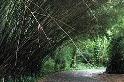 View of the botanical gardens at UPR in Venezuela | |
.png) | |
 Venezuela | |
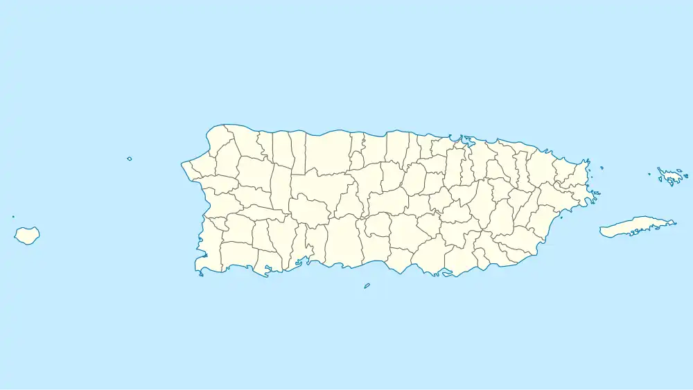
| Coordinates: 18°23′38″N 66°03′10″W / 18.3938774°N 66.0526930°W | |
| Commonwealth | |
| Municipality | |
| Barrio | Pueblo |
| Area | |
• Total | .07 sq mi (0.2 km2) |
| • Land | .07 sq mi (0.2 km2) |
| Elevation | 118 ft (36 m) |
| Population (2010) | |
• Total | 1,219 |
| • Density | 17,414.3/sq mi (6,723.7/km2) |
| Source: 2010 Census | |
| Time zone | UTC−4 (AST) |
Venezuela is one of the six subbarrios of Pueblo barrio in the municipality of San Juan in Puerto Rico.[2][3] It was, at one time, a subdivision of Río Piedras, a former municipality of Puerto Rico.
References
- ^ U.S. Geological Survey Geographic Names Information System: Venezuela (Pueblo)
- ^ "US Census definition of "subbarrio"". factfinder.com. US Census. Archived from the original on 12 February 2019. Retrieved 5 January 2019.
- ^ Puerto Rico 2000: Population and Housing Unit Counts
External links
 Media related to Venezuela (Río Piedras) at Wikimedia Commons