Vert, Yvelines
Vert | |
|---|---|
_-_Mairie01.jpg) Town hall | |
.svg.png) Coat of arms | |
Location of Vert | |
 Vert 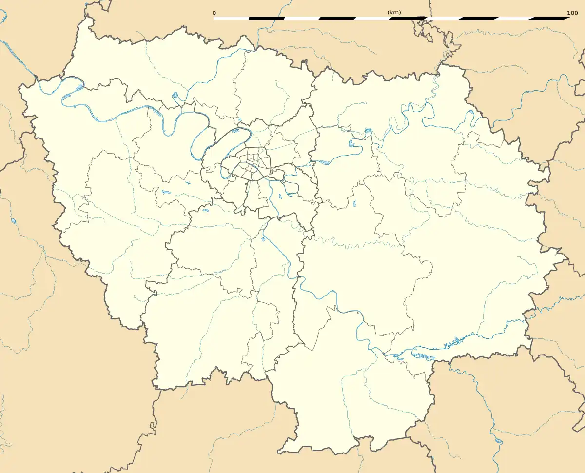 Vert | |
| Coordinates: 48°56′32″N 1°41′30″E / 48.9422°N 1.6917°E | |
| Country | France |
| Region | Île-de-France |
| Department | Yvelines |
| Arrondissement | Mantes-la-Jolie |
| Canton | Bonnières-sur-Seine |
| Intercommunality | CU Grand Paris Seine et Oise |
| Government | |
| • Mayor (2020–2026) | Jocelyne Reynaud-Leger[1] |
Area 1 | 3.67 km2 (1.42 sq mi) |
| Population (2022)[2] | 852 |
| • Density | 230/km2 (600/sq mi) |
| Time zone | UTC+01:00 (CET) |
| • Summer (DST) | UTC+02:00 (CEST) |
| INSEE/Postal code | 78647 /78930 |
| Elevation | 35–134 m (115–440 ft) (avg. 45 m or 148 ft) |
| 1 French Land Register data, which excludes lakes, ponds, glaciers > 1 km2 (0.386 sq mi or 247 acres) and river estuaries. | |
Vert (French pronunciation: [vɛʁ] ⓘ) is a commune in the Yvelines department in the Île-de-France region in north-central France.
Demographics
| Year | Pop. | ±% p.a. |
|---|---|---|
| 1968 | 417 | — |
| 1975 | 636 | +6.22% |
| 1982 | 778 | +2.92% |
| 1990 | 768 | −0.16% |
| 1999 | 737 | −0.46% |
| 2007 | 776 | +0.65% |
| 2012 | 806 | +0.76% |
| 2017 | 831 | +0.61% |
| Source: INSEE[3] | ||
See also
References
- ^ "Répertoire national des élus: les maires" (in French). data.gouv.fr, Plateforme ouverte des données publiques françaises. 4 May 2022.
- ^ "Populations de référence 2022" (in French). The National Institute of Statistics and Economic Studies. 19 December 2024.
- ^ Population en historique depuis 1968, INSEE
Wikimedia Commons has media related to Vert (Yvelines).