Vestal's Gap Road and Lanesville Historic District
Vestal's Gap Road and Lanesville Historic District | |
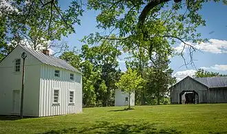
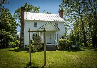 frame house in Lanesville Historic District | |
 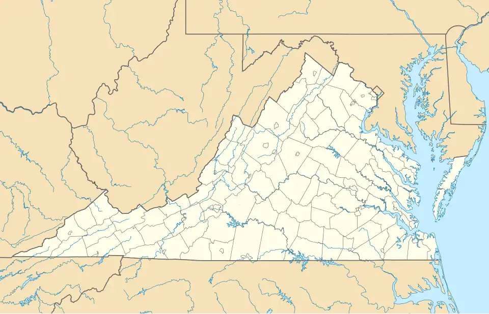  | |
| Location | 21544 Cascades Pkwy., Sterling, Virginia |
|---|---|
| Coordinates | 39°1′3″N 77°24′11″W / 39.01750°N 77.40306°W |
| Area | 7.5 acres (3.0 ha) |
| Built | c. 1807 |
| Architectural style | Early Republic |
| NRHP reference No. | 99001722[1] |
| VLR No. | 053-0498 |
| Significant dates | |
| Added to NRHP | February 3, 2000 |
| Designated VLR | September 15, 1999[2] |
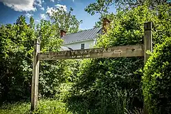
Vestal's Gap Road and Lanesville Historic District is a national historic district located in Claude Moore Park at Sterling, Loudoun County, Virginia. It encompasses 1 contributing building and 1 contributing structure. They are "Lanesville," a two-story side-gabled frame house on a solid stone-rubble foundation built about 1807, and a section of the former Vestal's Gap Road, an 18th-century road.[3]
It was listed on the National Register of Historic Places in 2000.[1]
-
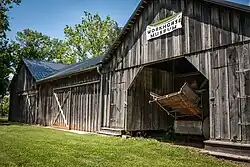
 Barn
Barn -
 Road midpoint
 -
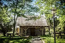 Log cabin
 -
 Workhorse museum
 -
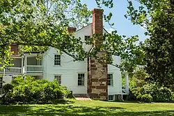 House
House -
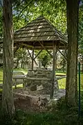 Well
Well -
-
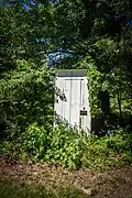 Outhouse
 -
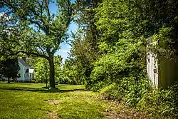 Road
Road
References
Wikimedia Commons has media related to Vestal's Gap Road and Lanesville Historic District.
- ^ a b "National Register Information System". National Register of Historic Places. National Park Service. July 9, 2010.
- ^ "Virginia Landmarks Register". Virginia Department of Historic Resources. Archived from the original on 21 September 2013. Retrieved 5 June 2013.
- ^ Kerri Culhane (June 1999). "National Register of Historic Places Inventory/Nomination: Vestal's Gap Road and Lanesville Historic District" (PDF). Virginia Department of Historic Resources. and Accompanying photo and Accompanying map