Viaur
| Viaur | |
|---|---|
 The Viaur at Laguépie | |
  | |
| Location | |
| Country | France |
| Physical characteristics | |
| Source | |
| • location | Massif Central |
| • elevation | 1,070 m (3,510 ft) |
| Mouth | |
• location | Aveyron |
• coordinates | 44°8′39″N 1°58′1″E / 44.14417°N 1.96694°E |
| Length | 168 km (104 mi) |
| Basin size | 1,530 km2 (590 sq mi) |
| Discharge | |
| • average | 6 m3/s (210 cu ft/s) |
| Basin features | |
| Progression | Aveyron→ Tarn→ Garonne→ Gironde estuary→ Atlantic Ocean |
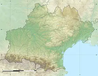
The Viaur (French pronunciation: [vjɔʁ]) is a 168-kilometre-long (104 mi) river in south-western France. It is a left tributary of the Aveyron.[1] Its source is in the southern Massif Central, north of Millau. It flows generally west through the following departments and towns:
The Viaur flows into the Aveyron in Laguépie.
Its main tributary is the Céor.
References
Wikimedia Commons has media related to Viaur.