Villarvolard
Villarvolard | |
|---|---|
 Coat of arms | |
Location of Villarvolard | |
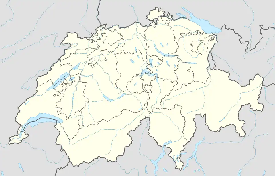 Villarvolard 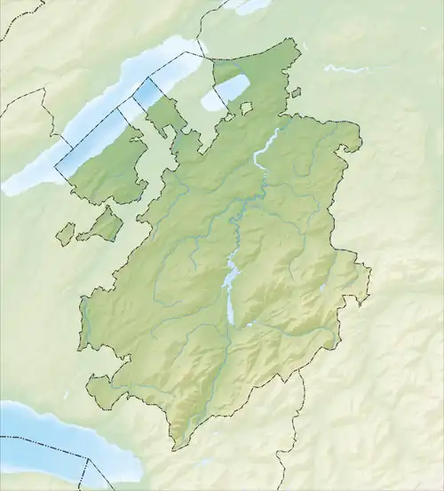 Villarvolard | |
| Coordinates: 46°39′N 7°6′E / 46.650°N 7.100°E | |
| Country | Switzerland |
| Canton | Fribourg |
| District | Gruyère |
| Government | |
| • Mayor | Syndic |
| Area | |
• Total | 5.46 km2 (2.11 sq mi) |
| Elevation | 732 m (2,402 ft) |
| Population (31 December 2010) | |
• Total | 268 |
| • Density | 49/km2 (130/sq mi) |
| Time zone | UTC+01:00 (Central European Time) |
| • Summer (DST) | UTC+02:00 (Central European Summer Time) |
| Postal code(s) | 1651 |
| SFOS number | 2159 |
| ISO 3166 code | CH-FR |
| Surrounded by | Cerniat, Corbières, Echarlens, Morlon, Villarbeney |
| Website | SFSO statistics |
Villarvolard (Arpitan: Velâr-Volârd) is a former municipality in the district of Gruyère in the canton of Fribourg in Switzerland. On 1 January 2011 it was merged with the municipality of Corbières.
References
Wikimedia Commons has media related to Villarvolard.
Municipalities in Gruyère District, Switzerland | ||
|---|---|---|