Villatoro
Villatoro | |
|---|---|
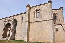 Church of San Miguel Arcángel, Villatoro, Ávila | |
 Flag .svg.png) Coat of arms | |
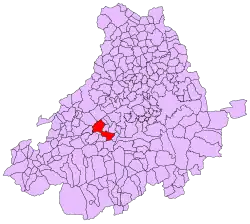 | |
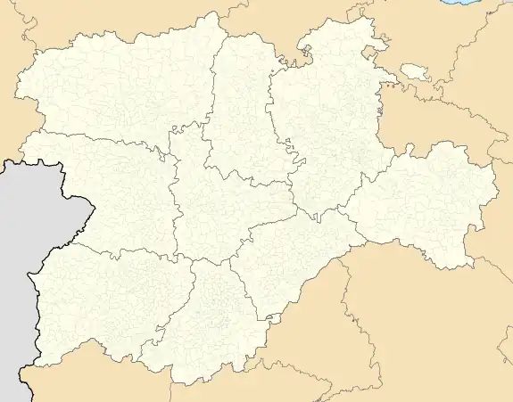 Villatoro Location in Spain. 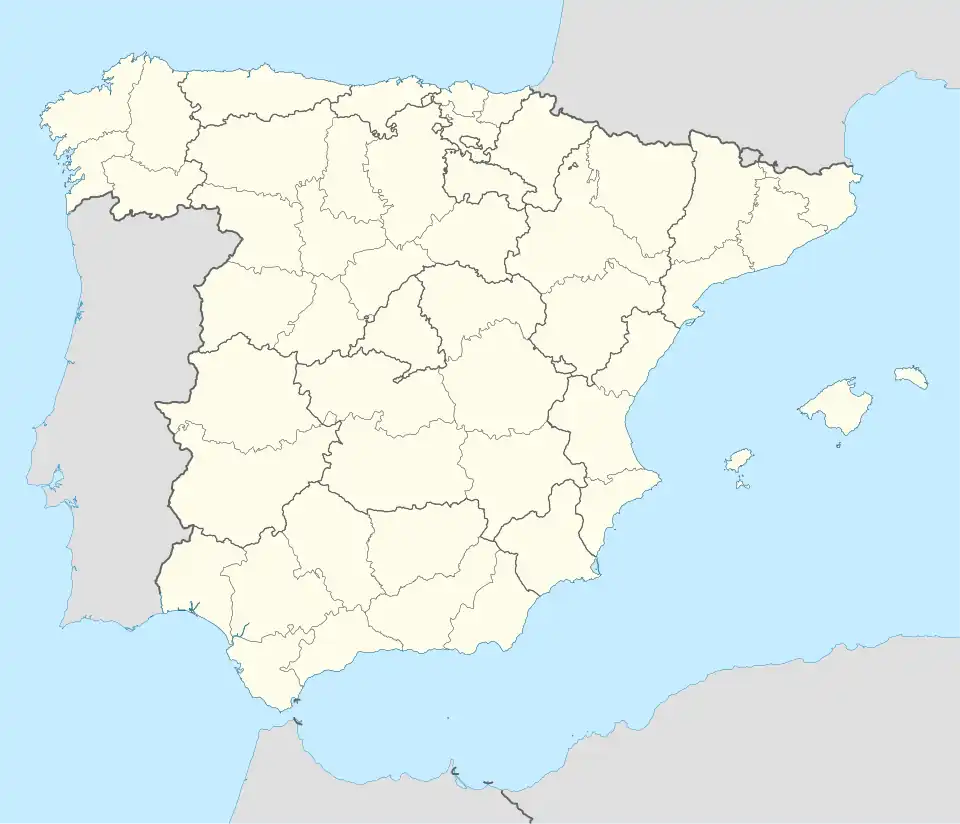 Villatoro Villatoro (Spain) | |
| Coordinates: 40°33′22″N 5°6′40″W / 40.55611°N 5.11111°W | |
| Country | |
| Autonomous community | |
| Province | |
| Area | |
• Total | 56.02 km2 (21.63 sq mi) |
| Elevation | 1,183 m (3,881 ft) |
| Population (2018)[1] | |
• Total | 166 |
| • Density | 3.0/km2 (7.7/sq mi) |
| Time zone | UTC+1 (CET) |
| • Summer (DST) | UTC+2 (CEST) |
| Website | Official website |
Villatoro is a municipality in Spain belonging to the province of Ávila, in the autonomous community of Castile and León. In 2017 it had a population of 178 inhabitants.
References
- ^ Municipal Register of Spain 2018. National Statistics Institute.