Volcán Jumaytepeque
| Volcán Jumaytepeque | |
|---|---|
 Volcán Jumaytepeque | |
| Highest point | |
| Elevation | 1,815 m (5,955 ft)[1] |
| Coordinates | 14°20′8″N 90°16′10″W / 14.33556°N 90.26944°W[1] |
| Geography | |
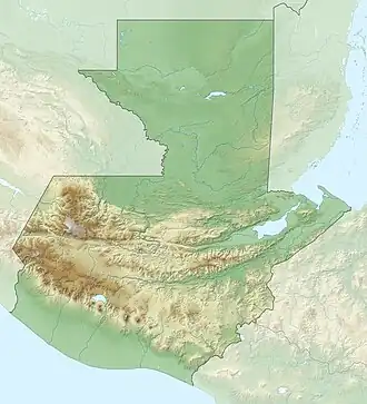
| Location | Guatemala |
| Geology | |
| Mountain type | Stratovolcano |
| Volcanic arc | Central America Volcanic Arc |
| Last eruption | Unknown[1] |
Volcán Jumaytepeque is a stratovolcano in south-eastern Guatemala. The 1,815-metre-high (5,955 ft) volcano is located about 7 km north-north-east of the city of Cuilapa, near the south-eastern rim of the large Miocene Santa Rosa de Lima caldera.
See also
References
- ^ a b c "Jumaytepeque". Global Volcanism Program. Smithsonian Institution. Retrieved 2011-02-22.