Vorasamni
Vorasamni | |
|---|---|
Village | |
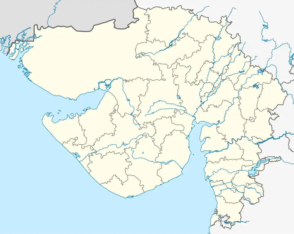 Vorasamni Location in Gujarat, India  Vorasamni Vorasamni (India) | |
| Coordinates: 21°47′50″N 72°52′47″E / 21.79722°N 72.87972°E | |
| Country | |
| State | Gujarat |
| District | Bharuch |
| Taluk | Vagra |
| Area | |
• Total | 5.446 km2 (2.103 sq mi) |
| Elevation | 14 m (46 ft) |
| Population (2011) | |
• Total | 2,514 |
| • Density | 460/km2 (1,200/sq mi) |
| Languages | |
| • Official | Gujarati, Hindi |
| Time zone | UTC+5:30 (IST) |
| PIN | 392012 |
| STD code | 91 (0)2642 |
Vorasamni is a village located in Vagra Taluka of Bharuch District, Gujarat, India. It is located to the northwest of the city of Bharuch. At the 2011 census, its population was 2,514.[1]
Geography
Vorasamni is located to the north of Narmada River. It covers an area of 544.6 hectares of land.[2]
Demographics
As of the 2011 Indian census, vorasamni had 2,514 residents. The literacy rate of the village was 74.58%, slightly lower than the Gujarat state average of 78.03%.[1]
References
- ^ a b "Population finder | Government of India". censusindia.gov.in. Retrieved 25 December 2024.
- ^ Census of India 2011 Gujarat District Census Handbook Bharuch (PDF). Directorate of Census Operations Gujarat. p. 214. Retrieved 25 December 2024.