Waiuku River
| Waiuku River | |
|---|---|
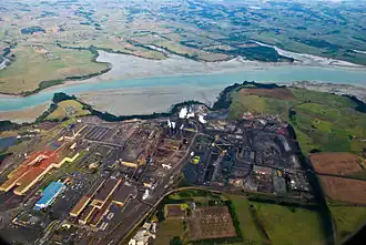 Aerial view of the Waiuku River and adjacent Glenbrook Steel Mill | |
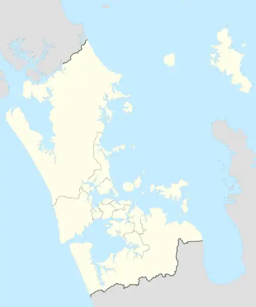
Route of the Waiuku River | |
 Mouth of the Waiuku River .png) Waiuku River (New Zealand) | |
| Location | |
| Country | New Zealand |
| Region | Auckland Region |
| Physical characteristics | |
| Source | |
| • location | Waiuku Stream |
| • coordinates | 37°14′59″S 174°43′55″E / 37.24959°S 174.73183°E |
| Mouth | Manukau Harbour |
• coordinates | 37°08′21″S 174°40′57″E / 37.1393°S 174.6826°E |
| Length | 12 km (7 mi) |
| Basin features | |
| Progression | Waiuku River → Manukau Harbour → Tasman Sea |
| Landmarks | Waiuku, Glenbrook Power Station, Glenbrook Beach, Clarks Beach |
| Tributaries | |
| • left | Rangiwhea Creek, Awaruaiti Creek, Mokorau Creek, Parakau Creek, Totara Creek, Waipipi Creek, Te Hakono Creek, Pukewhau Creek, Kohonui Creek, Ohiku Creek |
| • right | Waitangi Stream, Ruakohua Stream, Taihiki River |
The Waiuku River, also known as the Waiuku Estuary, is an estuarial arm of the Manukau Harbour, near the town of Waiuku, south-west of Auckland. It joins the harbour at the south west and extends south for 12 kilometres (7 mi), having its head close to the town of Waiuku.[1]
Gallery
-
.jpg) Buildings along the edge of the Waiuku River (circa 1911)
Buildings along the edge of the Waiuku River (circa 1911) -
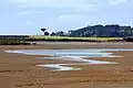 The Waiuku River at low tide in 2000
References
- ^ "Waiuku River". New Zealand Gazetteer. Retrieved 8 November 2023.