Wallersee
| Wallersee | |
|---|---|
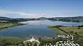
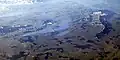
.jpg) Aerial view of the Wallersee from the southwest | |
 Wallersee 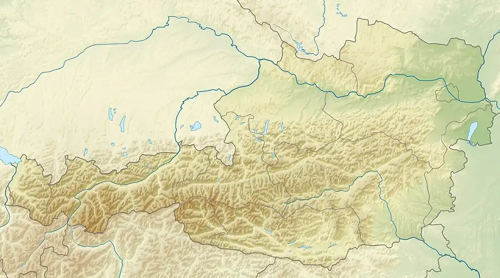 Wallersee | |
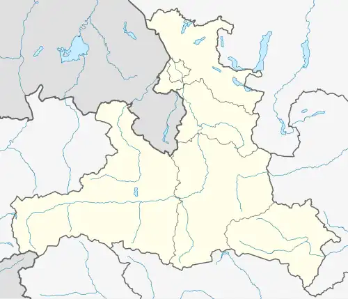
| Location | AT-5 |
| Group | Salzburger Seengebiet |
| Coordinates | 47°54′50″N 13°10′30″E / 47.91389°N 13.17500°E |
| Type | natural |
| Part of | Salzach |
| Primary inflows | Altbach |
| Primary outflows | Fischach |
| Basin countries | Austria |
| Water volume | 76,300,000 m3 (2.69×10⁹ cu ft) |
| Islands | 0 |
The Wallersee is a lake in the Austrian state of Salzburg northeast of the city of Salzburg in Salzburg-Umgebung District.
Around the lake there is a hiking path of about 20 km (12 mi) length; at its southern part, it converges with the famous Camino de Santiago (Austrian route).[1] There are two campsite resorts. It is allowed to swim and bath.
The northern shore consists of bogland since 1883 and is called Wenger Moor.[2]
Populated places adjacent to the lake
- Henndorf am Wallersee south of the lake
- Köstendorf north
- Neumarkt am Wallersee east
- Seekirchen am Wallersee west
-
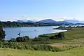
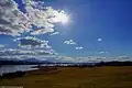
 Eastern banks
 -
 view to southwest
 -
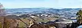 view from Gaisberg
 -
 Wenger Moor and Wallersee
 -
 Wallersee pictured far left
References
- ^ "Jakobsweg SalzburgerLand" (in German). SalzburgerLand Tourismus GmbH. 2022. Retrieved 2022-01-22.
- ^ "Wenger Moor" (in German). Seenland Tourismus GmbH. 2022. Retrieved 2022-01-22.
External links
![]() Media related to Wallersee at Wikimedia Commons
Media related to Wallersee at Wikimedia Commons
- Seenland Tourismus GmbH
- www.wallersee.info (tourism site) (in German)
- Geografische Informationen zum Wallersee Archived 2011-08-27 at the Wayback Machine Salzburger Landesregierung (in German)