Wapinitia, Oregon
Wapinitia | |
|---|---|
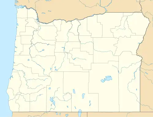 Wapinitia Location within the state of Oregon  Wapinitia Wapinitia (the United States) | |
| Coordinates: 45°06′51″N 121°15′23″W / 45.11417°N 121.25639°W | |
| Country | United States |
| State | Oregon |
| County | Wasco |
| Elevation | 2,044 ft (623 m) |
| Time zone | UTC−08:00 (Pacific (PST)) |
| • Summer (DST) | UTC−07:00 (PDT) |
| GNIS feature ID | 1151877[1] |
Wapinitia is an unincorporated community in Wasco County, Oregon, United States.[1] It is near Oregon Route 216 and is approximately 40 miles (64 km) south of the county seat of The Dalles. The nearest city is Maupin, which is 9 miles (14 km) to the east.
Wapinitia is a name derived from a Native American language most likely meaning "at the edge".[2]
References
- ^ a b c U.S. Geological Survey Geographic Names Information System: Wapinitia, Oregon
- ^ "Indian names given to spots in mid-Oregon". The Bulletin. August 20, 1952. p. 2. Retrieved October 14, 2015.
External links
- Photo of Wapinitia by Oregon ducatisti
Municipalities and communities of Wasco County, Oregon, United States | ||
|---|---|---|
| Cities | 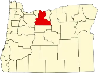 | |
| CDPs | ||
| Other communities | ||
| Ghost towns | ||
| Indian reservation | ||
| Footnotes | ‡This populated place also has portions in an adjacent county or counties | |