East Warburton, Victoria
| East Warburton Victoria | |||||||||||||||
|---|---|---|---|---|---|---|---|---|---|---|---|---|---|---|---|
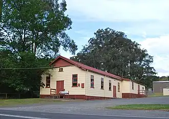 Public hall | |||||||||||||||
 East Warburton | |||||||||||||||
| Coordinates | 37°44′S 145°44′E / 37.733°S 145.733°E | ||||||||||||||
| Population | 906 (2021 census)[1] | ||||||||||||||
| Postcode(s) | 3799 | ||||||||||||||
| Elevation | 159 m (522 ft) | ||||||||||||||
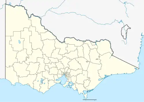
| Location | |||||||||||||||
| LGA(s) | Shire of Yarra Ranges | ||||||||||||||
| State electorate(s) | Eildon | ||||||||||||||
| Federal division(s) | Casey | ||||||||||||||
| |||||||||||||||
East Warburton is a town in Victoria, Australia, 67 km east from Melbourne's central business district, located within the Shire of Yarra Ranges local government area. East Warburton recorded a population of 906 at the 2021 census.[1]
The Post Office opened on 1 November 1921 and closed in 1975.[2]
References
- ^ a b Australian Bureau of Statistics (28 June 2022). "East Warburton (Suburbs and Localities)". 2021 Census QuickStats. Retrieved 9 July 2022.
- ^ Phoenix Auctions History - nothing found, Post Office List, retrieved 21 February 2021
External links
![]() Media related to Warburton East, Victoria at Wikimedia Commons
Media related to Warburton East, Victoria at Wikimedia Commons
Localities in the Yarra Ranges Shire | ||
|---|---|---|
| Suburb of Melbourne | 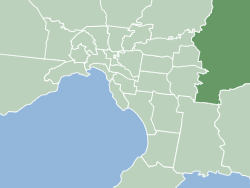 | |
| Town |
| |
| Locality | ||
^ - Territory divided with another LGA | ||