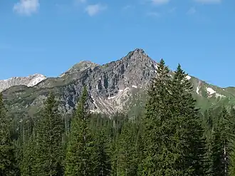
Kanzelwand
| Kanzelwand (Warmatsgundkopf) | |
|---|---|
 The Walser Hammerspitze (previously the Schüsser), the Kanzelwand and Zweiländerbahn | |
| Highest point | |
| Elevation | 2,058 m (6,752 ft) |
| Prominence | 88 m ↓ Col with the Walser Hammerspitze |
| Isolation | 0.8 km → Walser Hammerspitze |
| Coordinates | 47°20′6″N 10°12′27″E / 47.33500°N 10.20750°E |
| Geography | |
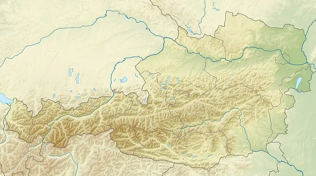 Kanzelwand (Warmatsgundkopf) Location in Bavaria, Germany (on border with Vorarlberg, Austria) 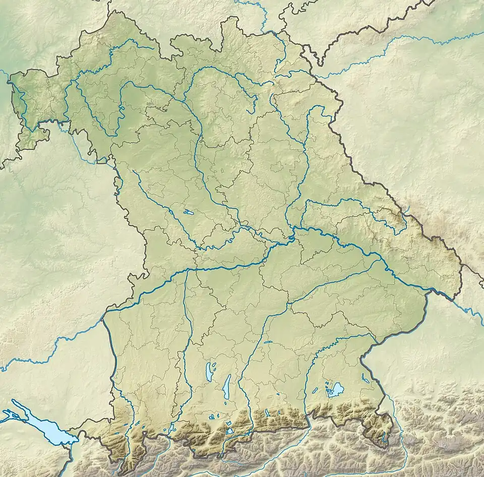 Kanzelwand (Warmatsgundkopf) Kanzelwand (Warmatsgundkopf) (Bavaria) | |
| Location | Border of Bavaria, Germany/ Vorarlberg, Austria |
| Parent range | Southeast Walsertal Mountains, Allgäu Alps |
| Geology | |
| Mountain type | Main dolomite |
Kanzelwand (formerly known as Warmatsgundkopf from the Bavarian side) is a mountain on the border between Vorarlberg, Austria and Bavaria, Germany.