Wasilla Lake
| Wasilla Lake | |
|---|---|
| Lach Bena[1] | |
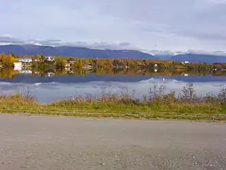 The lake seen from the George Parks Highway | |
 Wasilla Lake  Wasilla Lake | |
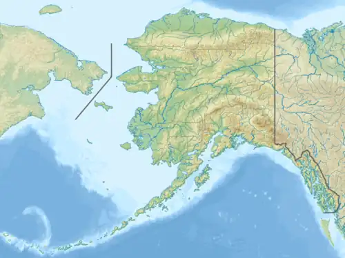
| Location | Wasilla, Alaska |
| Coordinates | 61°35′14″N 149°23′33″W / 61.58722°N 149.39250°W |
| Primary inflows | Wasilla Creek |
| Primary outflows | Cottonwood Creek |
| Basin countries | United States |
| Average depth | 17 feet (5.2 m) |
| Max. depth | 48 feet (15 m) |
| Water volume | 279,306,668 cubic feet (7,909,084.1 m3) |
| Shore length1 | 4.4 miles (7.1 km)[2] |
| 1 Shore length is not a well-defined measure. | |
Wasilla Lake is a lake in Wasilla, Alaska, named by workers constructing the Alaska Railroad after a nearby creek named Wasilla Creek.[1] The lake shore is the site of a city park, Newcomb Park.[3] It is the northern terminus of the Seven-Mile Canoe Trail, the other end being at Finger Lake.[4] Outside of the park areas, most of the shoreline is private property. The lake has a stable population of rainbow trout and fishing is considered good for bank, boat, and ice fishing.[5]
References
- ^ a b U.S. Geological Survey Geographic Names Information System: Wasilla Lake
- ^ Wasilla Lake sport fishing data, Alaska Department of Fish and Game
- ^ Newcomb Park, City of Wasilla
- ^ Wellner, Andrew Scout spruces up canoe trail, Mat-Su Valley Frontiersman, 27 May 2013
- ^ Alaska Department of Fish and Game Lake Stocking Database