Wayra Q'asa (Bolivia)
| Wayra Q'asa | |
|---|---|
 Wayra Q'asa Location within Bolivia | |
| Highest point | |
| Elevation | 3,720 m (12,200 ft)[1] |
| Coordinates | 19°37′31″S 64°42′35″W / 19.62528°S 64.70972°W |
| Geography | |
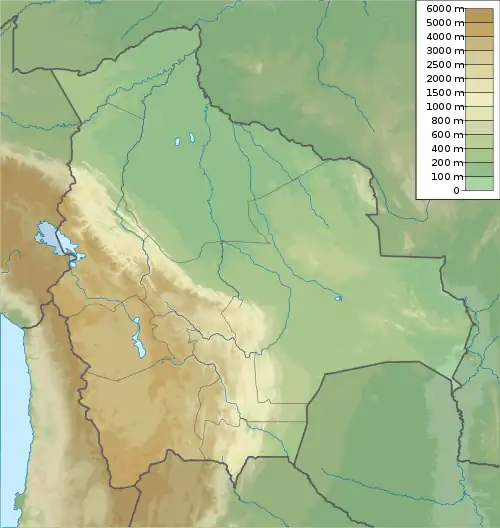
| Location | Bolivia, Chuquisaca Department |
| Parent range | Andes |
Wayra Q'asa (Quechua wayra wind, q'asa mountain pass,[2] "wind pass", also spelled Huayra Khasa) is a mountain in the Bolivian Andes which reaches a height of approximately 3,720 m (12,200 ft). It is located in the Chuquisaca Department, Jaime Zudáñez Province, Icla Municipality. Wayra Q'asa lies southwest of Chullunkhäni. The Lampasar River originates at the mountain. It is a left tributary of the Pillku Mayu ("red river").[1][3]
References
Capital: Sucre | ||
| Provinces | 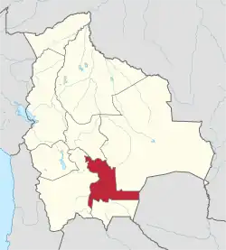 | |
| Municipalities and seats |
| |