Wegenstedt
Wegenstedt | |
|---|---|
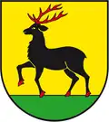 Coat of arms | |
Location of Wegenstedt | |
 Wegenstedt 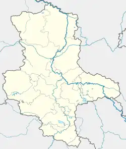 Wegenstedt | |
| Coordinates: 52°23′17″N 11°12′5″E / 52.38806°N 11.20139°E | |
| Country | Germany |
| State | Saxony-Anhalt |
| District | Börde |
| Municipality | Calvörde |
| Area | |
• Total | 12.21 km2 (4.71 sq mi) |
| Elevation | 84 m (276 ft) |
| Population (2006-12-31) | |
• Total | 398 |
| • Density | 33/km2 (84/sq mi) |
| Time zone | UTC+01:00 (CET) |
| • Summer (DST) | UTC+02:00 (CEST) |
| Postal codes | 39359 |
| Dialling codes | 039059 |
| Vehicle registration | BK |
Wegenstedt is a village and a former municipality in the Börde district in Saxony-Anhalt, Germany. Since 1 January 2010, it is part of the municipality Calvörde.[1]
References
- ^ "Gebietsänderungen vom 01. Januar bis 31. Dezember 2010" (in German). Federal Statistical Office of Germany. Retrieved 4 November 2024.