Wellington Park
| Wellington Park | |
|---|---|
 Hobart with Mount Wellington in the background | |
 | |
| Nearest city | Hobart |
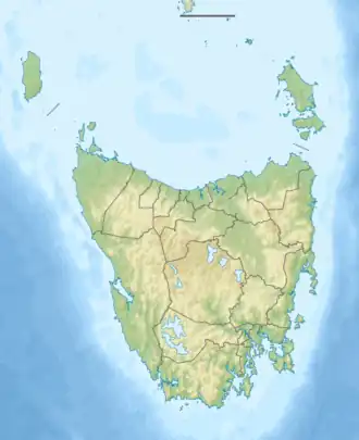
| Coordinates | 42°53′S 147°10′E / 42.89°S 147.16°E[1] |
| Area | 182.5[2] |
| Established | November 1, 1993 |
| Visitors | 280,491[3] |
| Operator | Wellington Park Management Trust |
| www | |
Wellington Park is a protected area which encompasses kunanyi / Mount Wellington and surrounds near Hobart, Tasmania. There are numerous hiking and mountain bike tracks within the park of varying difficulty.
Protection
Although it carries the same status as a national park (IUCN protected area category II[2]), it cannot technically be reserved as a national park because it contains private land.[4]
Management
Wellington Park is administered by the Wellington Park Management Trust, established in 1993, whose members include: Hobart and Glenorchy City Councils, Tasmania Parks and Wildlife Service, DPIPWE, TasWater, and Tourism Tasmania.[5] The Wellington Park Management Trust is outlined in the Wellington Park Act 1993.[6]
Gallery
-
 Australia Tower on the top of Mount Wellington
 -
 Mount Wellington hiking track and Organ Pipes
 -
 Mount Wellington lookout and boardwalk
 -
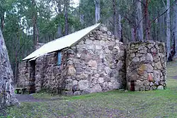 One of the huts on the slopes of Mount Wellington
See also
References
- ^ "Wellington Park on OpenStreetMap". openstreetmap.org. © OpenStreetMap contributors. Retrieved 19 June 2017.
- ^ a b "CAPAD 2014". environment.gov.au. Commonwealth of Australia. 2014. Retrieved 19 June 2017.
- ^ "Annual Report 2015-16" (PDF). wellingtonpark.org. Wellington Park Management Trust. 2016. Retrieved 19 June 2017.
- ^ "Wellington Park FAQ". wellingtonpark.org.au. Wellington Park Management Trust. Retrieved 19 June 2017.
- ^ "Wellington Park Management". wellingtonpark.org.au. Wellington Park Management Trust. Retrieved 19 June 2017.
- ^ "Wellington Park Act 1993". www.austlii.edu.au. Australasian Legal Information Institute. Retrieved 19 June 2017.
External links