West Branch Unadilla River
| West Branch Unadilla River | |
|---|---|
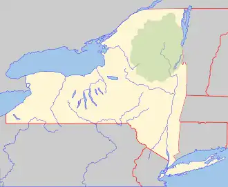 Location of the mouth within New York  West Branch Unadilla River (the United States) | |
| Location | |
| Country | United States |
| State | New York |
| Region | Central New York |
| Physical characteristics | |
| Source | |
| • location | Babcock Hill |
| • coordinates | 42°56′18″N 75°13′07″W / 42.93833°N 75.21861°W |
| Mouth | Unadilla River |
• location | Unadilla Forks |
• coordinates | 42°50′34″N 75°14′32″W / 42.84278°N 75.24222°W[1] |
• elevation | 1,142 ft (348 m) |
| Basin features | |
| Tributaries | |
| • right | Tionadara Creek |
The West Branch Unadilla River is a river in the U.S. state of New York. It flows into the Unadilla River near Unadilla Forks, New York.[2] This branch was known as Eghwagy Creek during the early 18th century.[3]
References
- ^ "West Branch Unadilla River". Geographic Names Information System. United States Geological Survey, United States Department of the Interior. Retrieved 2017-12-24.
- ^ "Unadilla River" (PDF). nysdec.gov. New York State Department of Environmental Conservation. Retrieved April 17, 2017.
- ^ Francis W., Halsey (1901). The Old New York Frontier: Its Wars with Indians and Tories; Its Missionary. p. 35.