West Drayton, Nottinghamshire
| West Drayton | |
|---|---|
| Village and civil parish | |
 | |
Parish map | |
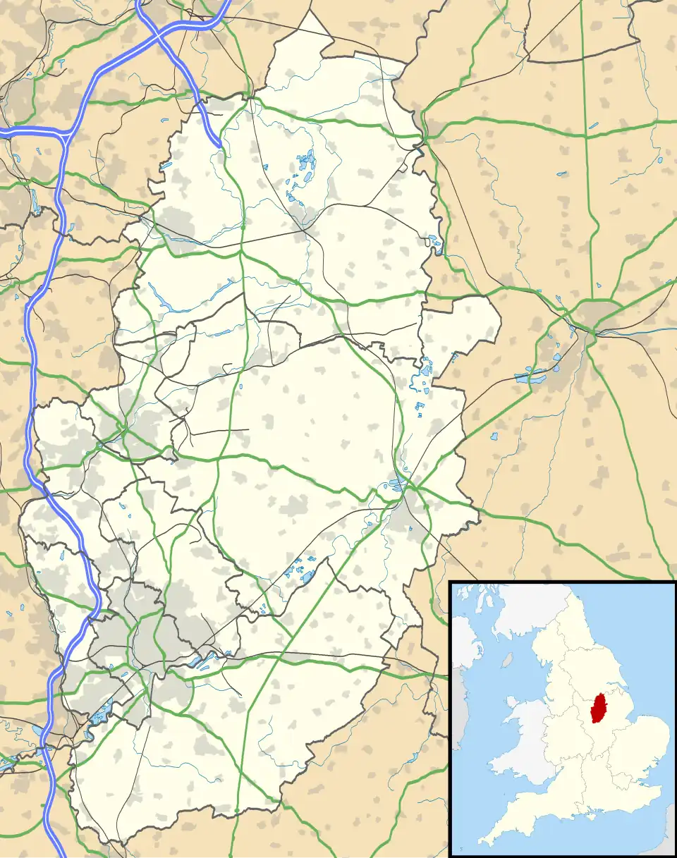 West Drayton Location within Nottinghamshire | |
| Area | 1.48 sq mi (3.8 km2) |
| Population | 221 (2021) |
| • Density | 149/sq mi (58/km2) |
| OS grid reference | SK 709746 |
| • London | 125 mi (201 km) SSE |
| Civil parish |
|
| District | |
| Shire county | |
| Region | |
| Country | England |
| Sovereign state | United Kingdom |
| Settlements |
|
| Post town | RETFORD |
| Postcode district | DN22 |
| Dialling code | 01777 |
| Police | Nottinghamshire |
| Fire | Nottinghamshire |
| Ambulance | East Midlands |
| UK Parliament | |
| Website | www.gamstonwestdrayton |
West Drayton is a village and civil parish in the Bassetlaw district in the county of Nottinghamshire, England. It lies 24 miles (39 km) north east of Nottingham and 4 miles (6.4 km) south of Retford.
In the census 2011, the parish had a population of 225,[1] and this fell to 221 residents at the 2021 census.[2] The parish includes the villages of Rockley and Markham Moor.
West Drayton was originally known simply as Drayton, and was recorded under that name in the Domesday Book of 1086.[3] "West" was added to distinguish the place from the village of East Drayton, 4 miles east.
St Paul's Church dates back to the 12th century, but was rebuilt in 1874. It is a Grade II* listed building.[4]
See also
References
- ^ UK Census (2011). "Local Area Report – West Drayton Parish (E04007850)". Nomis. Office for National Statistics. Retrieved 30 August 2020.
- ^ UK Census (2021). "2021 Census Area Profile – West Drayton parish (E04007850)". Nomis. Office for National Statistics. Retrieved 25 January 2024.
- ^ "The Domesday Book Online". Retrieved 31 August 2020.
- ^ Historic England. "Church of St Paul (1224416)". National Heritage List for England. Retrieved 30 August 2020.
External links
Wikimedia Commons has media related to West Drayton, Nottinghamshire.