West Logan, Ohio
West Logan, Ohio | |
|---|---|
 West Logan, Ohio Location in the United States | |
| Coordinates: 39°32′17″N 82°25′43″W / 39.53806°N 82.42861°W | |
| Country | United States |
| State | Ohio |
| County | Hocking |
| Area | |
• Total | 0.36 sq mi (0.95 km2) |
| • Land | 0.36 sq mi (0.93 km2) |
| • Water | 0.01 sq mi (0.02 km2) |
| Elevation | 764 ft (233 m) |
| Population (2020) | |
• Total | 912 |
| • Density | 2,540.39/sq mi (980.62/km2) |
| FIPS code | 39-83776 |
| GNIS feature ID | 2396505[2] |
West Logan is a census-designated place in Hocking County, Ohio. The population was 912 at the 2020 census.[3] The community is located on the Hocking River between the city limits of Logan and U.S. Route 33.
History
West Logan was historically home to Falls Mill, a mill built in 1815 by former Ohio governor Thomas Worthington.[4] Falls Mill Bridge, connecting West Logan to the city of Logan through Ohio State Route 664, was named after the mill.[4]
West Logan formerly housed an alternative elementary school in the Logan-Hocking School District.[5][6]
Geography
According to the United States Census Bureau, the CDP has a total area of 0.36 square miles (0.93 km2), of which 0.35 square miles (0.91 km2) is land and 0.01 square miles (0.02 km2) is water.[7]
Demographics
| Census | Pop. | Note | %± |
|---|---|---|---|
| 2020 | 912 | — | |
| U.S. Decennial Census[8] | |||
References
- ^ "ArcGIS REST Services Directory". United States Census Bureau. Retrieved September 20, 2022.
- ^ a b U.S. Geological Survey Geographic Names Information System: West Logan, Ohio
- ^ "Explore Census Data". data.census.gov. Retrieved August 24, 2022.
- ^ a b [email protected], GRETCHEN GREGORYLogan Daily News. "Historic marker tells story of Falls Mill Bridge". Logan Daily News. Retrieved August 31, 2022.
- ^ "Logan-Hocking Schools". loganhocking.k12.oh.us. Retrieved August 31, 2022.
- ^ "Public Landing". oeds.ode.state.oh.us. Retrieved August 31, 2022.
- ^ "Gazetteer Files". Census.gov. United States Census Bureau. Retrieved August 24, 2022.
- ^ "Census of Population and Housing". Census.gov. Retrieved June 4, 2016.
Municipalities and communities of Hocking County, Ohio, United States | ||
|---|---|---|
| City | 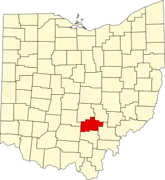 | |
| Villages | ||
| Townships | ||
| CDPs | ||
| Unincorporated communities | ||
| Footnotes | ‡This populated place also has portions in an adjacent county or counties | |