Westfall, Oregon
Westfall, Oregon | |
|---|---|
 The Moses and Mary Hart Stone House and Ranch Complex, in the vicinity of Westfall | |
 Westfall  Westfall | |
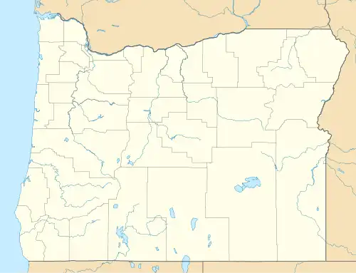
| Coordinates: 43°59′31″N 117°42′33″W / 43.99194°N 117.70917°W | |
| Country | United States |
| State | Oregon |
| County | Malheur |
| Elevation | 2,996 ft (913 m) |
| Time zone | UTC-7 (Mountain (MST)) |
| • Summer (DST) | UTC-6 (MDT) |
| ZIP code | 97920 |
| Area code | 541 |
| GNIS feature ID | 1136892[1] |
Westfall is an unincorporated community in Malheur County, Oregon, United States. Westfall is approximately 30 miles (48 km) west of Vale. Westfall has a post office with ZIP code 97920.[2]
History
Westfall was founded by Levi Westfall in 1870.[3]
The Moses and Mary Hart Stone House and Ranch Complex, constructed in the vicinity of Westfall in 1898, is on the National Register of Historic Places.[4]
Climate
According to the Köppen Climate Classification system, Westfall has a semi-arid climate, abbreviated "BSk" on climate maps.[5]
| Climate data for Westfall, Oregon | |||||||||||||
|---|---|---|---|---|---|---|---|---|---|---|---|---|---|
| Month | Jan | Feb | Mar | Apr | May | Jun | Jul | Aug | Sep | Oct | Nov | Dec | Year |
| Record high °F (°C) | 56 (13) |
68 (20) |
80 (27) |
89 (32) |
100 (38) |
102 (39) |
108 (42) |
105 (41) |
98 (37) |
90 (32) |
77 (25) |
62 (17) |
108 (42) |
| Mean daily maximum °F (°C) | 36.1 (2.3) |
43.2 (6.2) |
53.2 (11.8) |
61.6 (16.4) |
72 (22) |
80 (27) |
90.7 (32.6) |
89.4 (31.9) |
79.6 (26.4) |
65 (18) |
47.7 (8.7) |
36.4 (2.4) |
62.9 (17.2) |
| Mean daily minimum °F (°C) | 18.8 (−7.3) |
23.8 (−4.6) |
28.5 (−1.9) |
33.5 (0.8) |
42.2 (5.7) |
48.9 (9.4) |
55.5 (13.1) |
53.4 (11.9) |
44.5 (6.9) |
34.4 (1.3) |
26.3 (−3.2) |
19 (−7) |
35.7 (2.1) |
| Record low °F (°C) | −14 (−26) |
−18 (−28) |
−4 (−20) |
11 (−12) |
20 (−7) |
30 (−1) |
33 (1) |
25 (−4) |
25 (−4) |
7 (−14) |
−6 (−21) |
−28 (−33) |
−28 (−33) |
| Average precipitation inches (mm) | 1.3 (33) |
0.84 (21) |
0.77 (20) |
0.81 (21) |
0.99 (25) |
0.99 (25) |
0.4 (10) |
0.6 (15) |
0.45 (11) |
0.55 (14) |
1.15 (29) |
1.37 (35) |
10.21 (259) |
| Average snowfall inches (cm) | 8.7 (22) |
3.6 (9.1) |
1.3 (3.3) |
0.4 (1.0) |
0 (0) |
0 (0) |
0 (0) |
0 (0) |
0 (0) |
0.1 (0.25) |
3 (7.6) |
9.2 (23) |
26.2 (67) |
| Average precipitation days | 8 | 6 | 7 | 6 | 7 | 6 | 3 | 3 | 3 | 4 | 8 | 8 | 69 |
| Source: [6] | |||||||||||||
References
- ^ a b U.S. Geological Survey Geographic Names Information System: Westfall, Oregon
- ^ ZIP Code Lookup
- ^ Highberger, Mark (September 20, 2002). "Westfall". The Observer. La Grande, Oregon. Archived from the original on August 20, 2019.
- ^ James T. Post (July 15, 2000). "National Register of Historic Places Registration: Hart, Moses and Mary, Stone House and Ranch Complex / Hart, Mose, Stone House". National Park Service. and accompanying 45 photos
- ^ "Westfall, Oregon". Weatherbase. CantyMedia. Retrieved February 4, 2017.
- ^ "Westfall, OR (359176)". Western Regional Climate Center. Retrieved November 26, 2015.
Municipalities and communities of Malheur County, Oregon, United States | ||
|---|---|---|
| Cities |  | |
| CDPs | ||
| Other communities | ||
| Ghost towns | ||
| Indian reservation | ||
| Footnotes | ‡This populated place also has portions in an adjacent county or counties | |