Wheel, Tennessee
Wheel | |
|---|---|
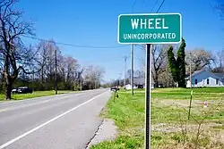 Sign along SR 64 | |
 Wheel  Wheel | |
| Coordinates: 35°29′19″N 86°37′47″W / 35.48861°N 86.62972°W | |
| Country | United States |
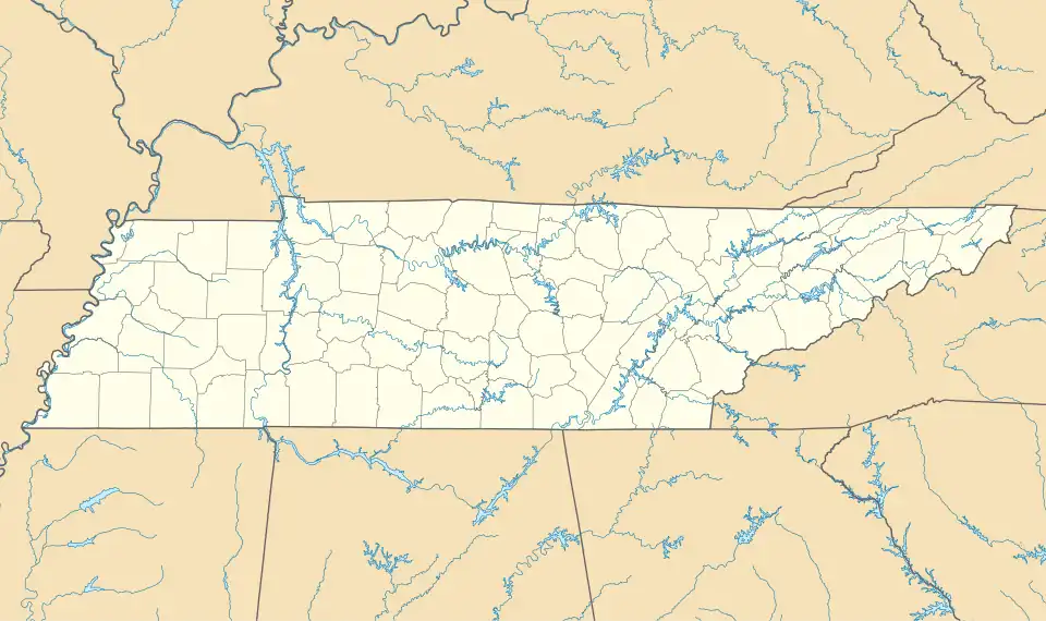
| State | Tennessee |
| County | Bedford |
| Elevation | 781 ft (238 m) |
| Time zone | UTC-6 (Central (CST)) |
| • Summer (DST) | UTC-5 (CDT) |
| ZIP code | 37160, 37091 |
| Area code | 931 |
| GNIS feature ID | 1274280[1] |
Wheel is an unincorporated community in Bedford County, Tennessee.[1] It lies along State Route 64 west of Shelbyville.
History
A post office called Wheel was established in 1888, and remained in operation until 1902.[2] The community was so named for the Agricultural Wheel, a farmers' alliance prominent in late 19th-century state politics.[3]
References
- ^ a b U.S. Geological Survey Geographic Names Information System: Wheel, Tennessee
- ^ "Bedford County". Jim Forte Postal History. Retrieved August 18, 2015.
- ^ Kennedy, Mark (February 19, 1989). "Speck-on-the-map towns in Tennessee". Herald-Journal. p. C13. Retrieved August 18, 2015.
Municipalities and communities of Bedford County, Tennessee, United States | ||
|---|---|---|
| City |  | |
| Towns | ||
| CDP | ||
| Unincorporated communities | ||