White Eagle, Oklahoma
White Eagle, Oklahoma | |
|---|---|
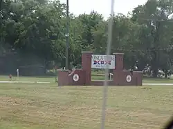 Ponca Tribe Sign in White Eagle | |
 White Eagle  White Eagle | |
| Coordinates: 36°37′36″N 97°04′52″W / 36.62667°N 97.08111°W | |
| Country | United States |
| State | Oklahoma |
| County | Kay |
| Area | |
• Total | 5.87 sq mi (15.20 km2) |
| • Land | 5.87 sq mi (15.20 km2) |
| • Water | 0.00 sq mi (0.00 km2) |
| Elevation | 925 ft (282 m) |
| Population (2020) | |
• Total | 520 |
| • Density | 89/sq mi (34/km2) |
| Time zone | UTC-6 (CST) |
| • Summer (DST) | UTC-5 (CDT) |
| Area code | 580 |
| FIPS code | 40-80750 |
| GNIS ID | 2805362[2] |
White Eagle is an unincorporated community and Census designated place in Kay County, Oklahoma, United States.
History
White Eagle was named for the Ponca principal chief, White Eagle (ca. 1840-1914), who led the Ponca to their reservation in Indian Territory.[3] Other names for the town are Ponca, White Eagle Agency, and Whiteagle.[2]
Geography
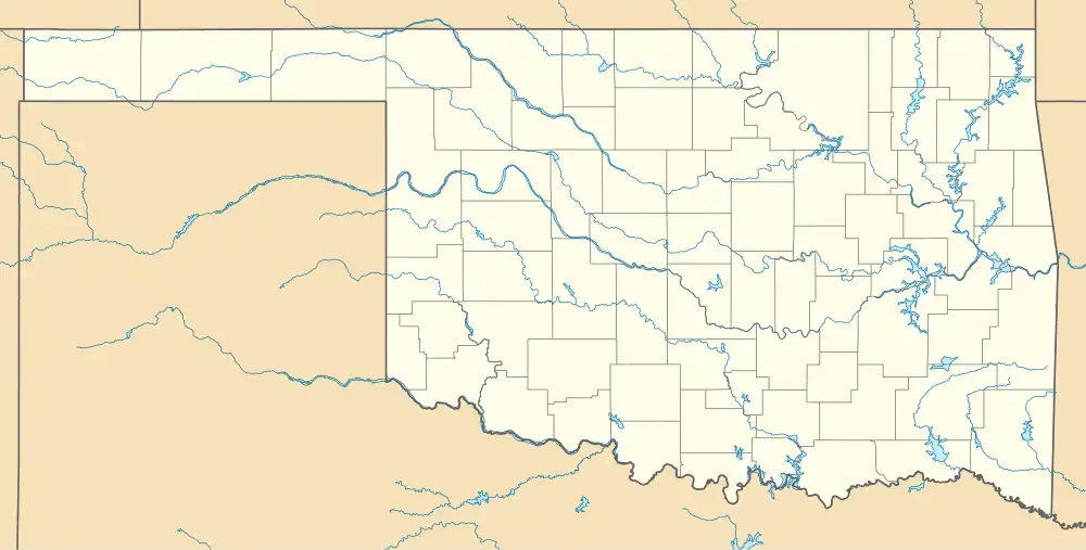
White Eagle is located in southeastern Kay County, just east of the Salt Fork and approximately one and one quarter miles west-northwest of the confluence of the Salt Fork with the Arkansas River. The community is on U.S. Route 177, five miles south of Ponca City.[4]
Demographics
| Census | Pop. | Note | %± |
|---|---|---|---|
| 2020 | 520 | — | |
| U.S. Decennial Census[5] | |||
Government
White Eagle is the headquarters for the Ponca Tribe of Indians of Oklahoma.[6]
Education
It is in Ponca City Public Schools,[7] which operates Ponca City High School.
Notable people
- Paladine Roye, Ponca painter, 1946-2001
References
- ^ "ArcGIS REST Services Directory". United States Census Bureau. Retrieved September 20, 2022.
- ^ a b c U.S. Geological Survey Geographic Names Information System: White Eagle, Oklahoma
- ^ Johansen, Bruce E. White Eagle. Oklahoma Historical Society's Encyclopedia of Oklahoma History & Culture. 2009 (15 August 2009)
- ^ Ponca City SE, OK, 7.5 Minute Topographic Quadrangle, USGS, 1968
- ^ "Census of Population and Housing". Census.gov. Retrieved June 4, 2016.
- ^ Van de Logt, Mark. Ponca. Oklahoma Historical Society's Encyclopedia of Oklahoma History & Culture. 2009 (15 August 2009)
- ^ "2020 CENSUS - SCHOOL DISTRICT REFERENCE MAP: Kay County, OK" (PDF). U.S. Census Bureau. pp. 1-2 (PDF p. 2-3/3). Retrieved January 27, 2024. - Text list
Municipalities and communities of Kay County, Oklahoma, United States | ||
|---|---|---|
| Cities |  | |
| Towns | ||
| CDPs | ||
| Other communities | ||
| Ghost towns | ||