Whiteface River (Minnesota)
| Whiteface River | |
|---|---|
 Mouth of the Whiteface River | |
| Location | |
| Country | United States |
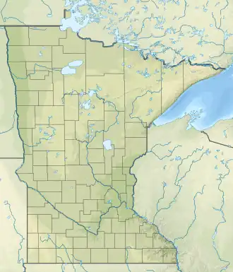
| State | Minnesota |
| County | St. Louis County |
| Physical characteristics | |
| Source | |
| • location | Whiteface Reservoir |
| • coordinates | 47°16′53″N 92°11′16″W / 47.2813186°N 92.187682°W |
| Mouth | |
• coordinates | 46°58′45″N 92°48′41″W / 46.97917°N 92.81139°W |
| Length | 64.4 mi-long (103.6 km) |
| Basin features | |
| Progression | Whiteface River→ St. Louis River→ Lake Superior |
| River system | Saint Louis River |
The Whiteface River is a 64.4-mile-long (103.6 km)[1] tributary of the Saint Louis River in Saint Louis County, Minnesota, United States.[2]
It begins at the outlet of Whiteface Reservoir near Markham and flows southwest, joining the Saint Louis River northeast of the city of Floodwood.
The river is used for recreational paddling.[3] Users should be aware there are no formal bathroom facilities along the river.[3]
See also
References
- ^ U.S. Geological Survey. National Hydrography Dataset high-resolution flowline data. The National Map, accessed May 7, 2012
- ^ U.S. Geological Survey Geographic Names Information System: Whiteface River (Minnesota)
- ^ a b "Whiteface River". Travel the Heart. Retrieved May 8, 2021.
External links
- Minnesota Watersheds
- USGS Hydrologic Unit Map - State of Minnesota (1974)