Wing, Alabama
Wing, Alabama | |
|---|---|
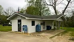 Post office in Wing | |
 Wing, Alabama  Wing, Alabama | |
| Coordinates: 31°01′40″N 86°36′38″W / 31.02778°N 86.61056°W | |
| Country | United States |
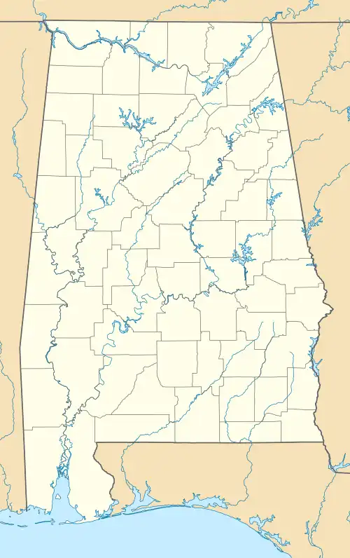
| State | Alabama |
| County | Covington |
| Elevation | 266 ft (81 m) |
| Time zone | UTC-6 (Central (CST)) |
| • Summer (DST) | UTC-5 (CDT) |
| ZIP code | 36483 |
| Area code | 334 |
| GNIS feature ID | 129115[1] |
Wing is an unincorporated community in Covington County, Alabama, United States.
Location
Wing is located entirely within Conecuh National Forest on Alabama State Route 137, 20.8 miles (33.5 km) south-southwest of Andalusia. Wing has a post office with ZIP code 36483.[2][3]
References
- ^ "Wing". Geographic Names Information System. United States Geological Survey, United States Department of the Interior.
- ^ United States Postal Service (2012). "USPS - Look Up a ZIP Code". Retrieved February 15, 2012.
- ^ "Postmaster Finder - Post Offices by ZIP Code". United States Postal Service. Archived from the original on October 17, 2020. Retrieved January 11, 2013.
Municipalities and communities of Covington County, Alabama, United States | ||
|---|---|---|
| Cities |  | |
| Towns | ||
| Unincorporated communities | ||