Wolpertswende
Wolpertswende | |
|---|---|
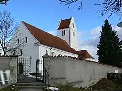 Church of Saint Gangolf | |
 Coat of arms | |
Location of Wolpertswende within Ravensburg district 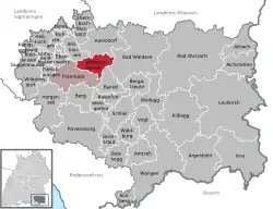 | |
 Wolpertswende 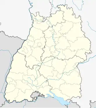 Wolpertswende | |
| Coordinates: 47°53′40″N 09°36′45″E / 47.89444°N 9.61250°E | |
| Country | Germany |
| State | Baden-Württemberg |
| Admin. region | Tübingen |
| District | Ravensburg |
| Municipal assoc. | Fronreute-Wolpertswende |
| Subdivisions | 9 Ortsteile |
| Government | |
| • Mayor (2018–26) | Daniel Steiner[1] (CDU) |
| Area | |
• Total | 26.35 km2 (10.17 sq mi) |
| Elevation | 569 m (1,867 ft) |
| Population (2023-12-31)[2] | |
• Total | 4,039 |
| • Density | 150/km2 (400/sq mi) |
| Time zone | UTC+01:00 (CET) |
| • Summer (DST) | UTC+02:00 (CEST) |
| Postal codes | 88284 |
| Dialling codes | 07502 |
| Vehicle registration | RV |
| Website | www.wolpertswende.de |
Wolpertswende is a municipality in the district of Ravensburg in Baden-Württemberg in Germany.
World Heritage Site
It is home to one or more prehistoric pile-dwelling (or stilt house) settlements that are part of the Prehistoric Pile dwellings around the Alps UNESCO World Heritage Site.[3]
References
- ^ Bürgermeisterwahl Wolpertswende 2018, Staatsanzeiger, accessed 14 December 2024.
- ^ "Bevölkerung nach Nationalität und Geschlecht am 31. Dezember 2023 (Fortschreibung auf Basis des Zensus 2022)" [Population by nationality and sex as of December 31, 2023 (updated based on the 2022 census)] (CSV) (in German). Statistisches Landesamt Baden-Württemberg.
- ^ UNESCO World Heritage Site - Prehistoric Pile dwellings around the Alps