Wright, Virginia
Wright, Virginia | |
|---|---|
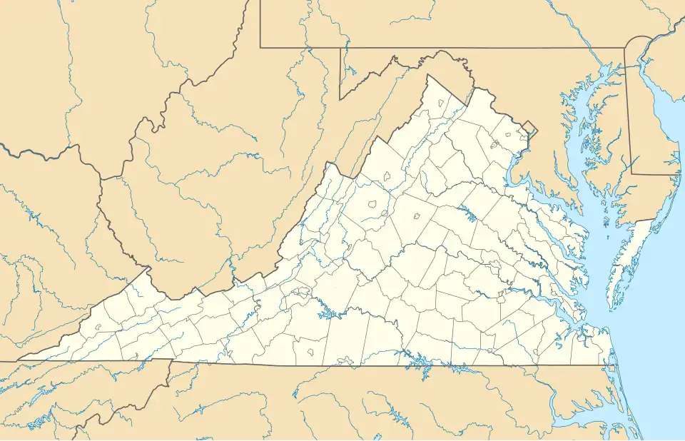 Location within the Commonwealth of Virginia  Wright, Virginia (the United States) | |
| Coordinates: 37°09′55″N 79°58′25″W / 37.16528°N 79.97361°W | |
| Country | United States |
| State | Virginia |
| County | Roanoke |
| Elevation | 1,089 ft (332 m) |
| Time zone | UTC−5 (Eastern (EST)) |
| • Summer (DST) | UTC−4 (EDT) |
| ZIP code | 24018 |
| Area code | 540 |
| GNIS feature ID | 1495176[1] |
| USGS[2] | |
Wright is an unincorporated community in southern Roanoke County, Virginia, United States. The community lies along U.S. 220 near the Franklin County line.[3]
References
- ^ "US Board on Geographic Names". United States Geological Survey. October 25, 2007. Retrieved January 31, 2008.
- ^ USGS. "Geographic Names Information System Feature Detail Report: Wright". Retrieved August 6, 2008.
- ^ "Google Maps". Retrieved August 6, 2008.
Municipalities and communities of Roanoke County, Virginia, United States | ||
|---|---|---|
| Town |  | |
| CDPs | ||
| Unincorporated communities | ||
| Footnotes | ‡This populated place also has portions in an adjacent county or counties | |