Yélimané Airport
Yélimané Airport Aéroport Yélimané | |||||||||||
|---|---|---|---|---|---|---|---|---|---|---|---|
| Summary | |||||||||||
| Airport type | Public | ||||||||||
| Serves | Yélimané, Mali | ||||||||||
| Elevation AMSL | 331 ft / 101 m | ||||||||||
| Coordinates | 15°07′25″N 10°34′05″W / 15.12361°N 10.56806°W | ||||||||||
| Map | |||||||||||
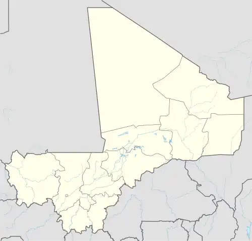 EYL Location of the airport in Mali | |||||||||||
| Runways | |||||||||||
| |||||||||||
Yélimané Airport (IATA: EYL, ICAO: GAYE) (French: Aéroport de Yélimané) is an airport serving Yélimané, a desert town in the Kayes Region of Mali.
The Yelimane non-directional beacon (Ident: YE) is located on the field.[3]
See also
References
- ^ Google Maps - Yélimané
- ^ Yélimané - SkyVector
- ^ "SkyVector: Flight Planning / Aeronautical Charts". skyvector.com. Retrieved 2018-08-21.
External links