Yana Uqsha (Cajatambo)
| Yana Uqsha | |
|---|---|
 Yana Uqsha Peru | |
| Highest point | |
| Elevation | 4,800 m (15,700 ft)[1] |
| Coordinates | 10°31′51″S 76°54′39″W / 10.53083°S 76.91083°W |
| Geography | |
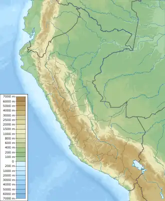
| Location | Peru, Lima Region |
| Parent range | Andes |
Yana Uqsha (Quechua yana black, very dark, uqsha (locally), uqsa high altitude grass,[2][3] Hispanicized spelling Yanaocsha) is a mountain in the Andes of Peru, about 4,800 m (15,700 ft) high. It is located in the Lima Region, Cajatambo Province, Cajatambo District. Yana Uqsha lies northwest of Pishtaq.[1][4]
References
- ^ a b escale.minedu.gob.pe – UGEL map of the Oyón Province (Lima Region)
- ^ Teofilo Laime Ajacopa, Diccionario Bilingüe Iskay simipi yuyayk'ancha, La Paz, 2007 (Quechua-Spanish dictionary)
- ^ Vocabulario-Comparativo-Quechua-Ecuator-Quechua-Ancash See Spanish: Paja – Ancash Quechua paha, uqsha
- ^ Peru 1:100,000, Oyón 1549, Map prepared and published by the Defense Mapping Agency, Hydrographic/Topographic Center, Bethesda, MD