Yanajaja (Arequipa)
| Yanajaja | |
|---|---|
 The Colca River and Yanajaja northwest of it (upper left) as seen from the ISS | |
| Highest point | |
| Elevation | 5,173 m (16,972 ft) |
| Coordinates | 15°27′55″S 72°11′40″W / 15.46528°S 72.19444°W |
| Naming | |
| Language of name | Quechua |
| Geography | |
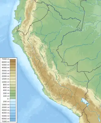 Yanajaja Peru | |
| Location | Peru, Arequipa Region |
| Parent range | Andes, Chila |
Yanajaja[1] (possibly from Quechua yana black, qaqa rock,[2] "black rock") is a 5,173-metre-high (16,972 ft) mountain in the west of the Chila mountain range in the Andes of Peru. It is located in the Arequipa Region, Castilla Province, Chachas District.[1] Yanajaja lies southwest of Cerani at a lake named Cochapunco.
References
- ^ a b escale.minedu.gob.pe - UGEL map of the Caylloma Province 1 (Arequipa Region)
- ^ Teofilo Laime Ajacopa (2007). Diccionario Bilingüe: Iskay simipi yuyayk’anch: Quechua – Castellano / Castellano – Quechua (PDF). La Paz, Bolivia: futatraw.ourproject.org.