Yntymak
Yntymak
Ынтымак | |
|---|---|
 Yntymak | |
| Coordinates: 42°28′29″N 72°06′01″E / 42.47472°N 72.10028°E | |
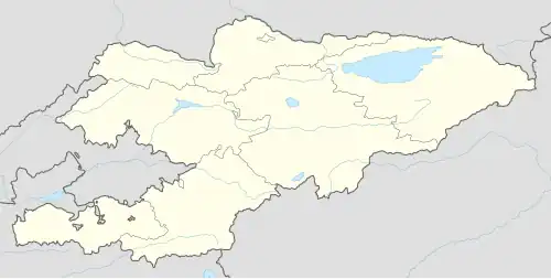
| Country | Kyrgyzstan |
| Region | Talas Region |
| District | Bakay-Ata District |
| Elevation | 1,446 m (4,744 ft) |
| Population (2021) | |
• Total | 2,918 |
| Time zone | UTC+6 |
Yntymak (Kyrgyz: Ынтымак, before 2001: Калинин Kalinin)[1] is a village in the Talas Region of north-west Kyrgyzstan. It is part of the Bakay-Ata District.[2] Its population was 2,918 in 2021.[3]
References
- ^ Law 8 February 2001 No. 23
- ^ "Classification system of territorial units of the Kyrgyz Republic" (in Kyrgyz). National Statistics Committee of the Kyrgyz Republic. May 2021. pp. 64–65.
- ^ "Population of regions, districts, towns, urban-type settlements, rural communities and villages of Kyrgyz Republic" (XLS) (in Russian). National Statistics Committee of the Kyrgyz Republic. 2021. Archived from the original on 10 November 2021.