Zielony Staw Gąsienicowy
| Zielony Staw Gąsienicowy | |
|---|---|
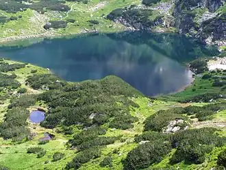 Zielony Staw Gąsienicowy seen at the bottom of the Stawek Valley. | |
 Zielony Staw Gąsienicowy | |
| Coordinates | 49°13′44″N 19°59′59″E / 49.22889°N 19.99972°E |
| Type | lake |
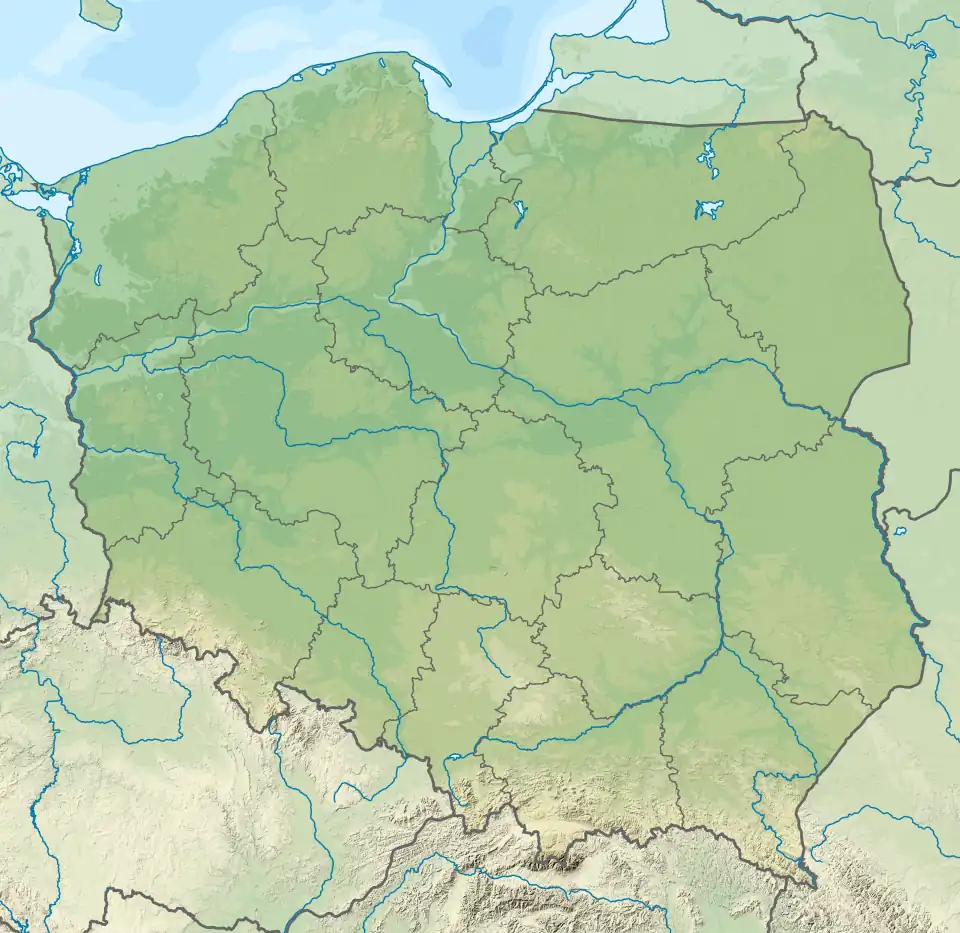
| Basin countries | Poland |
| Max. length | 0.275 km (0.171 mi) |
| Max. width | 0.238 km (0.148 mi) |
| Surface area | 38.4 ha (95 acres) |
| Max. depth | 15.1 m (50 ft) |
| Water volume | 260,500 m3 (211.2 acre⋅ft) |
| Surface elevation | 1,672 m (5,486 ft) |
Zielony Staw Gąsienicowy (Polish: Zielony Staw Gąsienicowy) is a tarn in Poland, part of the Gąsienicowe Ponds in the High Tatras.[1] The lake is located at an elevation of 1,672 metres (5,486 ft) in a corrie of the Skrajna pyramidal peak. The tarn was formerly named Suczy Staw. Zielony Staw Gąsienicowy is the largest lake in the Zielona Gąsienicowa Valley.[2]
References
- ^ Mirek, Zbigniew; Instytut Botaniki im. Władysława Szafera; Instytut Ochrony Przyrody (Polska Akademia Nauk) (2008). Czerwona księga Karpat Polskich: rośliny naczyniowe (in Polish). Kraków: Instytut Botaniki im. W. Szafera PAN. ISBN 978-83-89648-71-6.
- ^ Nyka, Józef (2003). Tatry polskie : przewodnik (in Polish) (Wyd. 13 (popr.) ed.). Latchorzew: Trawers. ISBN 8391585913.