Çamaş
Çamaş | |
|---|---|
District and municipality | |
 | |
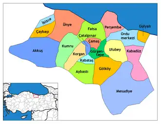
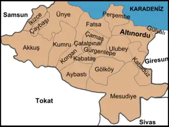 Map showing Çamaş District in Ordu Province | |
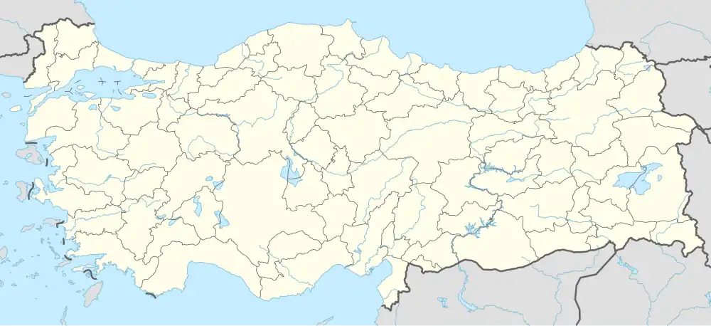 Çamaş Location in Turkey | |
| Coordinates: 40°54′09″N 37°31′41″E / 40.90250°N 37.52806°E | |
| Country | Turkey |
| Province | Ordu |
| Government | |
| • Mayor | Leyla Çıtır (CHP) |
Area | 81 km2 (31 sq mi) |
| Elevation | 590 m (1,940 ft) |
| Population (2022)[1] | 8,211 |
| • Density | 100/km2 (260/sq mi) |
| Time zone | UTC+3 (TRT) |
| Postal code | 52430 |
| Area code | 0452 |
| Climate | Cfb |
| Website | www |
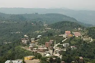
Çamaş is a municipality and district of Ordu Province, Turkey a historical Laz settlement.[2] Its area is 81 km2,[3] and its population is 8,211 (2022).[1] The town lies at an elevation of 590 m (1,936 ft).
Composition
There are 23 neighbourhoods in Çamaş District:[4]
- Akköy
- Akpınar
- Budak
- Burhangüneyi
- Çavuşbaşı
- Danışman
- Edirli
- Giden
- Gümüşlü
- Hisarbey
- Kemalpaşa
- Kestaneyokuşu
- Kocaman
- Örmeli
- Sakargeriş
- Sarıyakup
- Söken
- Sucuali
- Taşoluk
- Tepeli
- Uzunali
- Yenimahalle
- Yeşilvadi
References
- ^ a b "Address-based population registration system (ADNKS) results dated 31 December 2022, Favorite Reports" (XLS). TÜİK. Retrieved 19 September 2023.
- ^ Büyükşehir İlçe Belediyesi, Turkey Civil Administration Departments Inventory. Retrieved 19 September 2023.
- ^ "İl ve İlçe Yüz ölçümleri". General Directorate of Mapping. Retrieved 19 September 2023.
- ^ Mahalle, Turkey Civil Administration Departments Inventory. Retrieved 19 September 2023.
External links
![]() Media related to Çamaş at Wikimedia Commons
Media related to Çamaş at Wikimedia Commons