Abu Hbeilat
Abu Hbeilat
أبو حبيلات | |
|---|---|
Village | |
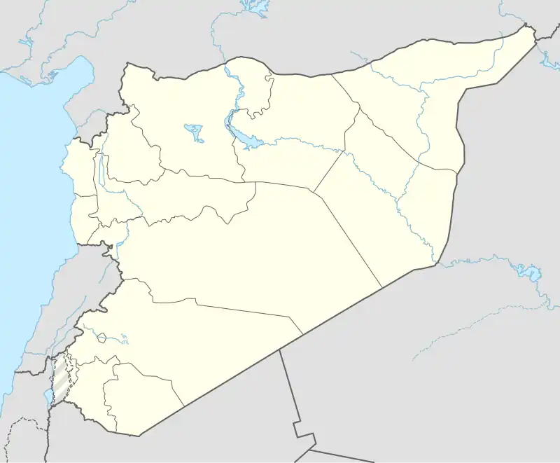 Abu Hbeilat Location in Syria | |
| Coordinates: 35°01′57″N 37°18′37″E / 35.032447°N 37.310300°E | |
| Country | |
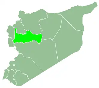
| Governorate | Hama |
| District | Salamiyah District |
| Subdistrict | Barri Sharqi Subdistrict |
| Population (2004) | |
• Total | 299 |
| Time zone | UTC+2 (EET) |
| • Summer (DST) | UTC+3 (EEST) |
| City Qrya Pcode | C3263 |
Abu Hbeilat (Arabic: أبو حبيلات) is a Syrian village located in Barri Sharqi Subdistrict in Salamiyah District, Hama. According to the Syria Central Bureau of Statistics (CBS), Abu Hbeilat had a population of 299 in the 2004 census.[1] As of 17 February 2025, the village had a population of 64 people.[2]
References
- ^ "General Census of Population 2004". Retrieved 2014-07-10.
- ^ "Syrian Arab Republic Displacement Data [IOM DTM] | Humanitarian Dataset | HDX". data.humdata.org. Retrieved 2025-05-25.