Al-Amqiyah Tahta
Al-Amqiyah al-Tahta
العمقية تحتا | |
|---|---|
Village | |
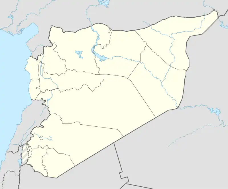 Al-Amqiyah al-Tahta Location in Syria | |
| Coordinates: 35°34′22″N 36°22′55″E / 35.57278°N 36.38194°E | |
| Country | |
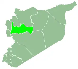
| Governorate | Hama |
| District | Al-Suqaylabiyah |
| Subdistrict | Al-Ziyarah |
| Population (2004) | |
• Total | 3,300 |
Al-Amqiyah al-Tahta (Arabic: العمقية تحتا) is a village in northern Syria, administratively part of the Hama Governorate, located northwest of Hama. It is situated in the Ghab plain Nearby localities include al-Huwash to the south, Nabl al-Khatib to the southwest, Farikah to the west, al-Ziyarah to the northwest and al-Ankawi to the north. According to the Syria Central Bureau of Statistics, al-Amqiyah al-Tahta had a population of 3,300 in the 2004 census.[1]
References
- ^ General Census of Population and Housing 2004 Archived 2012-12-20 at archive.today. Syria Central Bureau of Statistics (CBS). Hama Governorate. (in Arabic)