Albareto
Albareto | |
|---|---|
| Comune di Albareto | |
 | |
 Coat of arms | |
Location of Albareto | |
 Albareto Location of Albareto in Italy 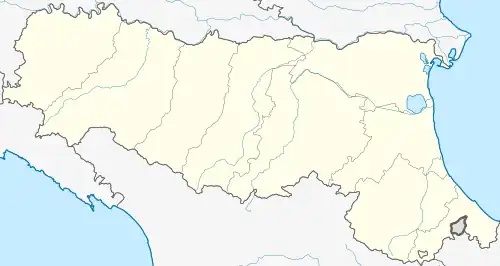 Albareto Albareto (Emilia-Romagna) | |
| Coordinates: 44°27′N 9°42′E / 44.450°N 9.700°E | |
| Country | Italy |
| Region | Emilia-Romagna |
| Province | Parma (PR) |
| Frazioni | Bertorella, Boschetto, Buzzò, Cacciarasca, Campi, Case Bozzini, Caselle, Case Mazzetta, Case Mirani, Codogno, Folta, Gotra, Il Costello, Lazzarè, Le Moie, Montegroppo, Pieve di Campi, Pistoi, Ponte Scodellino, Roncole, San Quirico, Spallavera, Squarci, Torre |
| Government | |
| • Mayor | Davide Riccoboni |
| Area | |
• Total | 103.9 km2 (40.1 sq mi) |
| Elevation | 512 m (1,680 ft) |
| Population (30 April 2017)[2] | |
• Total | 2,149 |
| • Density | 21/km2 (54/sq mi) |
| Demonym | Albaretesi |
| Time zone | UTC+1 (CET) |
| • Summer (DST) | UTC+2 (CEST) |
| Postal code | 43051 |
| Dialing code | 0525 |
| Website | Official website |
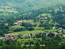
Albareto (Parmigiano: Albarèjj) is a comune (municipality) in the Province of Parma in the Italian region Emilia-Romagna, located about 130 kilometres (81 mi) west of Bologna and about 60 kilometres (37 mi) southwest of Parma.
Albareto borders the following municipalities: Borgo Val di Taro, Compiano, Pontremoli, Sesta Godano, Tornolo, Varese Ligure, Zeri.
References
- ^ "Superficie di Comuni Province e Regioni italiane al 9 ottobre 2011". Italian National Institute of Statistics. Retrieved 16 March 2019.
- ^ All demographics and other statistics: Italian statistical institute Istat.